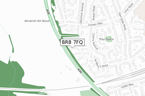
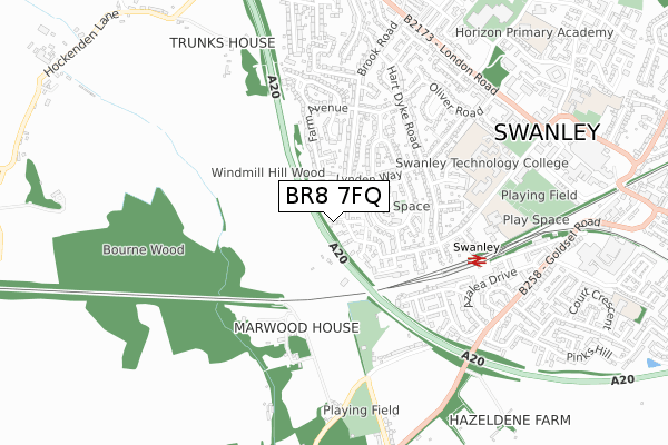
BR8 7FQ is located in the Swanley St Mary's electoral ward, within the local authority district of Sevenoaks and the English Parliamentary constituency of Sevenoaks. The Sub Integrated Care Board (ICB) Location is NHS Kent and Medway ICB - 91Q and the police force is Kent. This postcode has been in use since December 2019.


GetTheData
Source: OS Open Zoomstack (Ordnance Survey)
Licence: Open Government Licence (requires attribution)
Attribution: Contains OS data © Crown copyright and database right 2025
Source: Open Postcode Geo
Licence: Open Government Licence (requires attribution)
Attribution: Contains OS data © Crown copyright and database right 2025; Contains Royal Mail data © Royal Mail copyright and database right 2025; Source: Office for National Statistics licensed under the Open Government Licence v.3.0
| Easting | 550446 |
| Northing | 168404 |
| Latitude | 51.394731 |
| Longitude | 0.161121 |
GetTheData
Source: Open Postcode Geo
Licence: Open Government Licence
| Country | England |
| Postcode District | BR8 |
➜ See where BR8 is on a map ➜ Where is Swanley? | |
GetTheData
Source: Land Registry Price Paid Data
Licence: Open Government Licence
| Ward | Swanley St Mary's |
| Constituency | Sevenoaks |
GetTheData
Source: ONS Postcode Database
Licence: Open Government Licence
| St Mary's Road (Cherry Avenue) | Swanley | 249m |
| Cherry Avenue | Swanley | 304m |
| Cherry Avenue | Swanley | 305m |
| Leewood Place (St Mary's Road) | Swanley | 336m |
| Rowan Road | Swanley | 425m |
| Swanley Station | 0.6km |
| St Mary Cray Station | 3.8km |
| Eynsford Station | 4.7km |
GetTheData
Source: NaPTAN
Licence: Open Government Licence
GetTheData
Source: ONS Postcode Database
Licence: Open Government Licence


➜ Get more ratings from the Food Standards Agency
GetTheData
Source: Food Standards Agency
Licence: FSA terms & conditions
| Last Collection | |||
|---|---|---|---|
| Location | Mon-Fri | Sat | Distance |
| Farm Avenue (1) | 18:00 | 11:30 | 428m |
| St Marys Road (5) | 18:00 | 11:30 | 474m |
| Azalea Drive (37) | 18:15 | 11:30 | 676m |
GetTheData
Source: Dracos
Licence: Creative Commons Attribution-ShareAlike
The below table lists the International Territorial Level (ITL) codes (formerly Nomenclature of Territorial Units for Statistics (NUTS) codes) and Local Administrative Units (LAU) codes for BR8 7FQ:
| ITL 1 Code | Name |
|---|---|
| TLJ | South East (England) |
| ITL 2 Code | Name |
| TLJ4 | Kent |
| ITL 3 Code | Name |
| TLJ46 | West Kent |
| LAU 1 Code | Name |
| E07000111 | Sevenoaks |
GetTheData
Source: ONS Postcode Directory
Licence: Open Government Licence
The below table lists the Census Output Area (OA), Lower Layer Super Output Area (LSOA), and Middle Layer Super Output Area (MSOA) for BR8 7FQ:
| Code | Name | |
|---|---|---|
| OA | E00124238 | |
| LSOA | E01024476 | Sevenoaks 002A |
| MSOA | E02005088 | Sevenoaks 002 |
GetTheData
Source: ONS Postcode Directory
Licence: Open Government Licence
| BR8 7BA | St Marys Road | 96m |
| BR8 7DP | Laburnum Avenue | 129m |
| BR8 7DW | Lynden Way | 160m |
| BR8 7DU | Cherry Avenue | 165m |
| BR8 7WH | Morello Close | 216m |
| BR8 7DN | Lynden Way | 253m |
| BR8 7EL | Apple Orchard | 282m |
| BR8 7DJ | Laburnum Avenue | 298m |
| BR8 7DL | Laburnum Avenue | 298m |
| BR8 7HZ | Farm Avenue | 301m |
GetTheData
Source: Open Postcode Geo; Land Registry Price Paid Data
Licence: Open Government Licence