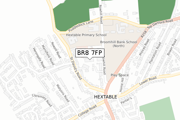
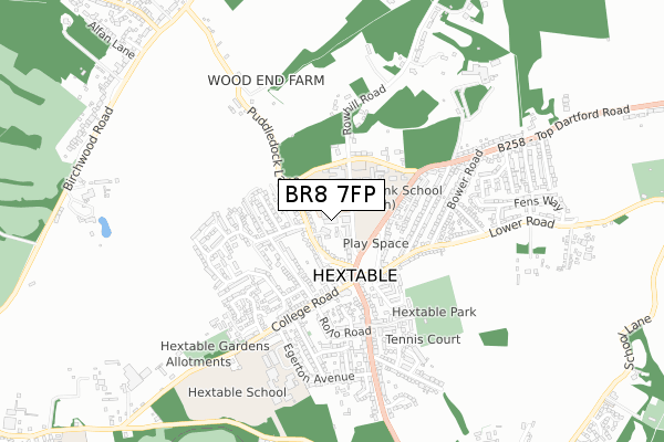
BR8 7FP is located in the Hextable electoral ward, within the local authority district of Sevenoaks and the English Parliamentary constituency of Sevenoaks. The Sub Integrated Care Board (ICB) Location is NHS Kent and Medway ICB - 91Q and the police force is Kent. This postcode has been in use since September 2017.


GetTheData
Source: OS Open Zoomstack (Ordnance Survey)
Licence: Open Government Licence (requires attribution)
Attribution: Contains OS data © Crown copyright and database right 2025
Source: Open Postcode Geo
Licence: Open Government Licence (requires attribution)
Attribution: Contains OS data © Crown copyright and database right 2025; Contains Royal Mail data © Royal Mail copyright and database right 2025; Source: Office for National Statistics licensed under the Open Government Licence v.3.0
| Easting | 551756 |
| Northing | 170503 |
| Latitude | 51.413243 |
| Longitude | 0.180834 |
GetTheData
Source: Open Postcode Geo
Licence: Open Government Licence
| Country | England |
| Postcode District | BR8 |
➜ See where BR8 is on a map ➜ Where is Hextable? | |
GetTheData
Source: Land Registry Price Paid Data
Licence: Open Government Licence
| Ward | Hextable |
| Constituency | Sevenoaks |
GetTheData
Source: ONS Postcode Database
Licence: Open Government Licence
| Furness School (Main Road) | Hextable | 168m |
| Furness School (Top Dartford Road) | Hextable | 196m |
| Puddledock Lane (Top Dartford Road) | Hextable | 343m |
| Rollo Road (Main Road) | Hextable | 464m |
| Plantation Road (Top Dartford Road) | Hextable | 492m |
| Swanley Station | 2.4km |
| Bexley Station | 3.8km |
| Crayford Station | 3.9km |
GetTheData
Source: NaPTAN
Licence: Open Government Licence
| Percentage of properties with Next Generation Access | 100.0% |
| Percentage of properties with Superfast Broadband | 100.0% |
| Percentage of properties with Ultrafast Broadband | 0.0% |
| Percentage of properties with Full Fibre Broadband | 0.0% |
Superfast Broadband is between 30Mbps and 300Mbps
Ultrafast Broadband is > 300Mbps
| Median download speed | 31.3Mbps |
| Average download speed | 25.2Mbps |
| Maximum download speed | 48.22Mbps |
| Median upload speed | 9.8Mbps |
| Average upload speed | 6.7Mbps |
| Maximum upload speed | 10.90Mbps |
| Percentage of properties unable to receive 2Mbps | 0.0% |
| Percentage of properties unable to receive 5Mbps | 0.0% |
| Percentage of properties unable to receive 10Mbps | 0.0% |
| Percentage of properties unable to receive 30Mbps | 0.0% |
GetTheData
Source: Ofcom
Licence: Ofcom Terms of Use (requires attribution)
GetTheData
Source: ONS Postcode Database
Licence: Open Government Licence


➜ Get more ratings from the Food Standards Agency
GetTheData
Source: Food Standards Agency
Licence: FSA terms & conditions
| Last Collection | |||
|---|---|---|---|
| Location | Mon-Fri | Sat | Distance |
| Rowhill | 17:30 | 12:00 | 229m |
| Home Hill (2) | 18:00 | 12:00 | 253m |
| Top Dartford Road (22) | 18:00 | 12:00 | 266m |
GetTheData
Source: Dracos
Licence: Creative Commons Attribution-ShareAlike
The below table lists the International Territorial Level (ITL) codes (formerly Nomenclature of Territorial Units for Statistics (NUTS) codes) and Local Administrative Units (LAU) codes for BR8 7FP:
| ITL 1 Code | Name |
|---|---|
| TLJ | South East (England) |
| ITL 2 Code | Name |
| TLJ4 | Kent |
| ITL 3 Code | Name |
| TLJ46 | West Kent |
| LAU 1 Code | Name |
| E07000111 | Sevenoaks |
GetTheData
Source: ONS Postcode Directory
Licence: Open Government Licence
The below table lists the Census Output Area (OA), Lower Layer Super Output Area (LSOA), and Middle Layer Super Output Area (MSOA) for BR8 7FP:
| Code | Name | |
|---|---|---|
| OA | E00124088 | |
| LSOA | E01024445 | Sevenoaks 001A |
| MSOA | E02005087 | Sevenoaks 001 |
GetTheData
Source: ONS Postcode Directory
Licence: Open Government Licence
| BR8 7RL | Rowhill Road | 67m |
| BR8 7RJ | St Davids Road | 69m |
| BR8 7RF | Claremont Road | 177m |
| BR8 7RE | Malyons Road | 207m |
| BR8 7RR | Home Hill | 231m |
| BR8 7RG | Mansfield Road | 241m |
| BR8 7PP | Southbank | 245m |
| DA2 7QE | Puddledock Lane | 267m |
| BR8 7QX | Southfields | 282m |
| BR8 7RH | College Road | 298m |
GetTheData
Source: Open Postcode Geo; Land Registry Price Paid Data
Licence: Open Government Licence