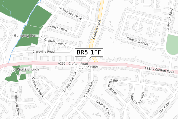
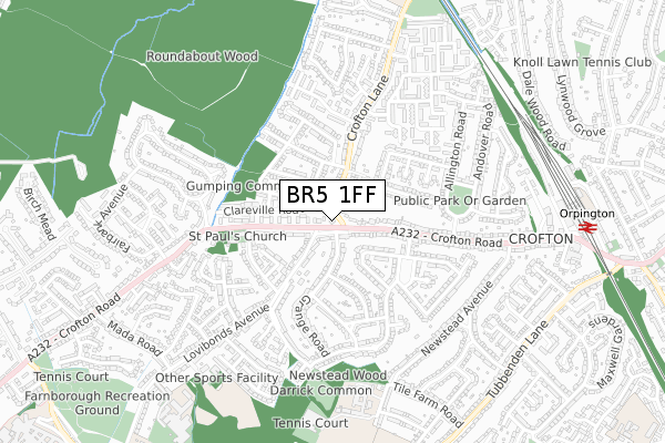
BR5 1FF is located in the Farnborough & Crofton electoral ward, within the London borough of Bromley and the English Parliamentary constituency of Orpington. The Sub Integrated Care Board (ICB) Location is NHS South East London ICB - 72Q and the police force is Metropolitan Police. This postcode has been in use since December 2019.


GetTheData
Source: OS Open Zoomstack (Ordnance Survey)
Licence: Open Government Licence (requires attribution)
Attribution: Contains OS data © Crown copyright and database right 2025
Source: Open Postcode Geo
Licence: Open Government Licence (requires attribution)
Attribution: Contains OS data © Crown copyright and database right 2025; Contains Royal Mail data © Royal Mail copyright and database right 2025; Source: Office for National Statistics licensed under the Open Government Licence v.3.0
| Easting | 544559 |
| Northing | 165873 |
| Latitude | 51.373519 |
| Longitude | 0.075535 |
GetTheData
Source: Open Postcode Geo
Licence: Open Government Licence
| Country | England |
| Postcode District | BR5 |
➜ See where BR5 is on a map ➜ Where is London? | |
GetTheData
Source: Land Registry Price Paid Data
Licence: Open Government Licence
| Ward | Farnborough & Crofton |
| Constituency | Orpington |
GetTheData
Source: ONS Postcode Database
Licence: Open Government Licence
| Crofton Lane Crofton Road (Crofton Lane) | Crofton | 73m |
| Crofton Road Crofton Lane (Crofton Road) | Crofton | 86m |
| Crofton Road Crofton Lane (Crofton Road) | Crofton | 98m |
| St Thomas Drive Crofton Lane (Crofton Lane) | Crofton | 167m |
| Pound Court Drive (Crofton Road) | Crofton | 238m |
| Orpington Station | 0.9km |
| Petts Wood Station | 1.7km |
| Chelsfield Station | 3km |
GetTheData
Source: NaPTAN
Licence: Open Government Licence
GetTheData
Source: ONS Postcode Database
Licence: Open Government Licence


➜ Get more ratings from the Food Standards Agency
GetTheData
Source: Food Standards Agency
Licence: FSA terms & conditions
| Last Collection | |||
|---|---|---|---|
| Location | Mon-Fri | Sat | Distance |
| Crofton Lane (33) | 17:45 | 12:00 | 215m |
| Ormonde Avenue | 17:45 | 12:00 | 461m |
| Kelvin Parade | 17:45 | 12:00 | 510m |
GetTheData
Source: Dracos
Licence: Creative Commons Attribution-ShareAlike
The below table lists the International Territorial Level (ITL) codes (formerly Nomenclature of Territorial Units for Statistics (NUTS) codes) and Local Administrative Units (LAU) codes for BR5 1FF:
| ITL 1 Code | Name |
|---|---|
| TLI | London |
| ITL 2 Code | Name |
| TLI6 | Outer London - South |
| ITL 3 Code | Name |
| TLI61 | Bromley |
| LAU 1 Code | Name |
| E09000006 | Bromley |
GetTheData
Source: ONS Postcode Directory
Licence: Open Government Licence
The below table lists the Census Output Area (OA), Lower Layer Super Output Area (LSOA), and Middle Layer Super Output Area (MSOA) for BR5 1FF:
| Code | Name | |
|---|---|---|
| OA | E00003696 | |
| LSOA | E01000755 | Bromley 031C |
| MSOA | E02000157 | Bromley 031 |
GetTheData
Source: ONS Postcode Directory
Licence: Open Government Licence
| BR6 8JD | Crofton Road | 53m |
| BR5 1HH | Crofton Lane | 126m |
| BR6 8JB | Crofton Road | 148m |
| BR6 8JA | Crofton Road | 154m |
| BR6 8ED | Grange Road | 158m |
| BR5 1HG | Romany Rise | 182m |
| BR6 8DU | Crofton Avenue | 192m |
| BR5 1RU | Clareville Road | 200m |
| BR5 1RX | Gumping Road | 205m |
| BR6 8HZ | Crofton Road | 214m |
GetTheData
Source: Open Postcode Geo; Land Registry Price Paid Data
Licence: Open Government Licence