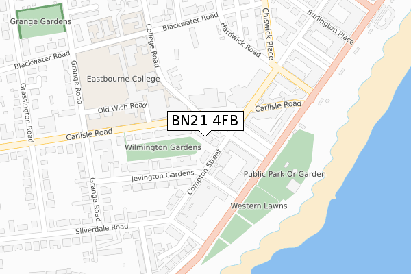
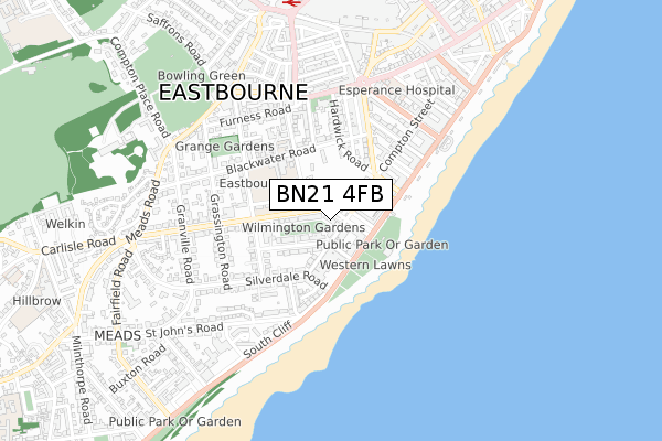
BN21 4FB is located in the Meads electoral ward, within the local authority district of Eastbourne and the English Parliamentary constituency of Eastbourne. The Sub Integrated Care Board (ICB) Location is NHS Sussex ICB - 97R and the police force is Sussex. This postcode has been in use since April 2019.


GetTheData
Source: OS Open Zoomstack (Ordnance Survey)
Licence: Open Government Licence (requires attribution)
Attribution: Contains OS data © Crown copyright and database right 2025
Source: Open Postcode Geo
Licence: Open Government Licence (requires attribution)
Attribution: Contains OS data © Crown copyright and database right 2025; Contains Royal Mail data © Royal Mail copyright and database right 2025; Source: Office for National Statistics licensed under the Open Government Licence v.3.0
| Easting | 561125 |
| Northing | 98297 |
| Latitude | 50.761894 |
| Longitude | 0.283266 |
GetTheData
Source: Open Postcode Geo
Licence: Open Government Licence
| Country | England |
| Postcode District | BN21 |
➜ See where BN21 is on a map ➜ Where is Eastbourne? | |
GetTheData
Source: Land Registry Price Paid Data
Licence: Open Government Licence
| Ward | Meads |
| Constituency | Eastbourne |
GetTheData
Source: ONS Postcode Database
Licence: Open Government Licence
| Congress Theatre (Carlisle Road) | Eastbourne | 74m |
| Winter Gardens (Compton Street) | Meads | 132m |
| Grand Hotel (Compton Street) | Meads | 135m |
| Winter Gardens (Compton Street) | Meads | 173m |
| Grand Hotel (King Edward's Parade) | Meads | 188m |
| Eastbourne Station | 0.8km |
| Hampden Park (Sussex) Station | 3.8km |
GetTheData
Source: NaPTAN
Licence: Open Government Licence
GetTheData
Source: ONS Postcode Database
Licence: Open Government Licence


➜ Get more ratings from the Food Standards Agency
GetTheData
Source: Food Standards Agency
Licence: FSA terms & conditions
| Last Collection | |||
|---|---|---|---|
| Location | Mon-Fri | Sat | Distance |
| All Saints | 17:45 | 11:00 | 352m |
| Cornfield Terrace | 17:30 | 11:00 | 361m |
| South Cliffe | 17:30 | 11:00 | 369m |
GetTheData
Source: Dracos
Licence: Creative Commons Attribution-ShareAlike
The below table lists the International Territorial Level (ITL) codes (formerly Nomenclature of Territorial Units for Statistics (NUTS) codes) and Local Administrative Units (LAU) codes for BN21 4FB:
| ITL 1 Code | Name |
|---|---|
| TLJ | South East (England) |
| ITL 2 Code | Name |
| TLJ2 | Surrey, East and West Sussex |
| ITL 3 Code | Name |
| TLJ22 | East Sussex CC |
| LAU 1 Code | Name |
| E07000061 | Eastbourne |
GetTheData
Source: ONS Postcode Directory
Licence: Open Government Licence
The below table lists the Census Output Area (OA), Lower Layer Super Output Area (LSOA), and Middle Layer Super Output Area (MSOA) for BN21 4FB:
| Code | Name | |
|---|---|---|
| OA | E00106276 | |
| LSOA | E01020937 | Eastbourne 011C |
| MSOA | E02004366 | Eastbourne 011 |
GetTheData
Source: ONS Postcode Directory
Licence: Open Government Licence
| BN21 4JN | Wilmington Gardens | 21m |
| BN21 4DT | Compton Street | 41m |
| BN21 4DU | Compton Street | 60m |
| BN21 4EA | Wilmington Square | 75m |
| BN21 4EH | Jevington Gardens | 81m |
| BN21 4EB | Lansdowne Terrace | 116m |
| BN21 4DX | Wilmington Square | 126m |
| BN21 4HR | Jevington Gardens | 131m |
| BN21 4BU | King Edwards Parade | 148m |
| BN21 4HN | Jevington Gardens | 149m |
GetTheData
Source: Open Postcode Geo; Land Registry Price Paid Data
Licence: Open Government Licence