BN12 6FP maps, stats, and open data
- Home
- Postcode
- BN
- BN12
- BN12 6
BN12 6FP is located in the Castle electoral ward, within the local authority district of Worthing and the English Parliamentary constituency of Worthing West. The Sub Integrated Care Board (ICB) Location is NHS Sussex ICB - 70F and the police force is Sussex. This postcode has been in use since November 2017.
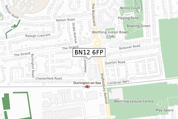
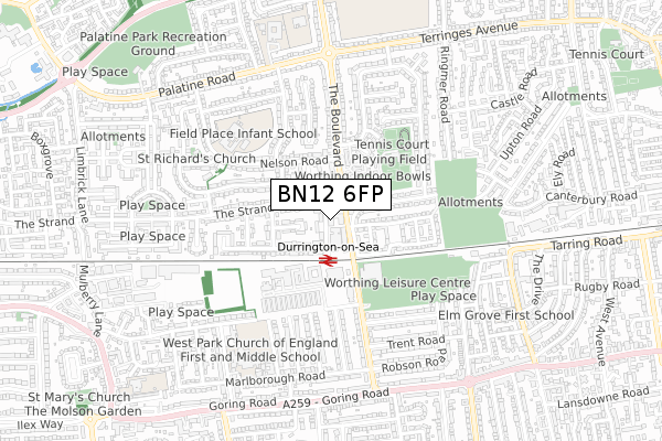
BN12 6FP maps


Source: OS Open Zoomstack (Ordnance Survey)
Licence: Open Government Licence (requires attribution)
Attribution: Contains OS data © Crown copyright and database right 2025
Source: Open Postcode GeoLicence: Open Government Licence (requires attribution)
Attribution: Contains OS data © Crown copyright and database right 2025; Contains Royal Mail data © Royal Mail copyright and database right 2025; Source: Office for National Statistics licensed under the Open Government Licence v.3.0
BN12 6FP geodata
| Easting | 512017 |
| Northing | 103343 |
| Latitude | 50.818800 |
| Longitude | -0.411159 |
Where is BN12 6FP?
| Country | England |
| Postcode District | BN12 |
Politics
| Ward | Castle |
|---|
| Constituency | Worthing West |
|---|
Transport
Nearest bus stops to BN12 6FP
| Golden Lion (The Strand) | Durrington | 88m |
| Golden Lion (The Strand) | Durrington | 107m |
| Boulevard Shops (The Boulevard) | Durrington | 204m |
| Boulevard Shops (The Boulevard) | Durrington | 207m |
| Burlington Road (The Strand) | Durrington | 310m |
Nearest railway stations to BN12 6FP
| Durrington-on-Sea Station | 0.1km |
| West Worthing Station | 1.3km |
| Goring-by-Sea Station | 1.5km |
Broadband
Broadband access in BN12 6FP (2020 data)
| Percentage of properties with Next Generation Access | 100.0% |
| Percentage of properties with Superfast Broadband | 100.0% |
| Percentage of properties with Ultrafast Broadband | 100.0% |
| Percentage of properties with Full Fibre Broadband | 100.0% |
Superfast Broadband is between 30Mbps and 300Mbps
Ultrafast Broadband is > 300Mbps
Broadband limitations in BN12 6FP (2020 data)
| Percentage of properties unable to receive 2Mbps | 0.0% |
| Percentage of properties unable to receive 5Mbps | 0.0% |
| Percentage of properties unable to receive 10Mbps | 0.0% |
| Percentage of properties unable to receive 30Mbps | 0.0% |
Deprivation
35.2% of English postcodes are less deprived than
BN12 6FP:
Food Standards Agency
Three nearest food hygiene ratings to BN12 6FP (metres)
Dragon Inn
The Golden Lion
Golden Lion 7 The Strand
66m
Love At First Bite
➜ Get more ratings from the Food Standards Agency
Nearest post box to BN12 6FP
| | Last Collection | |
|---|
| Location | Mon-Fri | Sat | Distance |
|---|
| Strand Post Office | 18:00 | 12:15 | 111m |
| Ringmer Road | 16:45 | 12:00 | 553m |
| Marlborough Road | 16:45 | 10:00 | 582m |
BN12 6FP ITL and BN12 6FP LAU
The below table lists the International Territorial Level (ITL) codes (formerly Nomenclature of Territorial Units for Statistics (NUTS) codes) and Local Administrative Units (LAU) codes for BN12 6FP:
| ITL 1 Code | Name |
|---|
| TLJ | South East (England) |
| ITL 2 Code | Name |
|---|
| TLJ2 | Surrey, East and West Sussex |
| ITL 3 Code | Name |
|---|
| TLJ27 | West Sussex (South West) |
| LAU 1 Code | Name |
|---|
| E07000229 | Worthing |
BN12 6FP census areas
The below table lists the Census Output Area (OA), Lower Layer Super Output Area (LSOA), and Middle Layer Super Output Area (MSOA) for BN12 6FP:
| Code | Name |
|---|
| OA | E00162082 | |
|---|
| LSOA | E01031784 | Worthing 007B |
|---|
| MSOA | E02006627 | Worthing 007 |
|---|
Nearest postcodes to BN12 6FP


