Property/Postcode Data Search:
BL7 9GE maps, stats, and open data
BL7 9GE is located in the Bromley Cross electoral ward, within the metropolitan district of Bolton and the English Parliamentary constituency of Bolton North East. The Sub Integrated Care Board (ICB) Location is NHS Greater Manchester ICB - 00T and the police force is Greater Manchester. This postcode has been in use since April 2020.
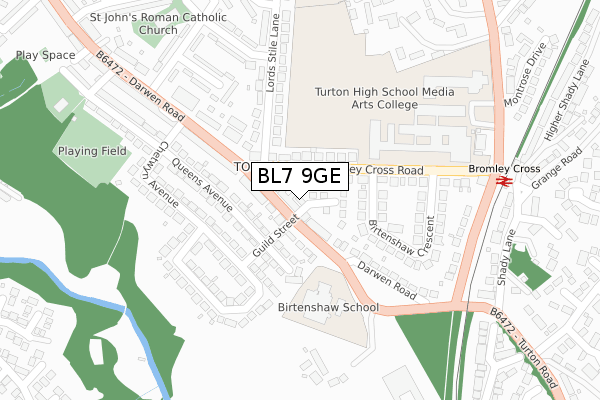
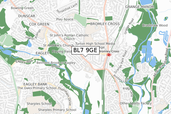
BL7 9GE maps


Source: OS Open Zoomstack (Ordnance Survey)
Licence: Open Government Licence (requires attribution)
Attribution: Contains OS data © Crown copyright and database right 2025
Source: Open Postcode Geo
Licence: Open Government Licence (requires attribution)
Attribution: Contains OS data © Crown copyright and database right 2025; Contains Royal Mail data © Royal Mail copyright and database right 2025; Source: Office for National Statistics licensed under the Open Government Licence v.3.0
Licence: Open Government Licence (requires attribution)
Attribution: Contains OS data © Crown copyright and database right 2025
Source: Open Postcode Geo
Licence: Open Government Licence (requires attribution)
Attribution: Contains OS data © Crown copyright and database right 2025; Contains Royal Mail data © Royal Mail copyright and database right 2025; Source: Office for National Statistics licensed under the Open Government Licence v.3.0
BL7 9GE geodata
| Easting | 372584 |
| Northing | 413101 |
| Latitude | 53.613750 |
| Longitude | -2.415882 |
Where is BL7 9GE?
| Country | England |
| Postcode District | BL7 |
Politics
| Ward | Bromley Cross |
|---|---|
| Constituency | Bolton North East |
Transport
Nearest bus stops to BL7 9GE
| Darwen Road/Bromley Cross Road (Darwen Road) | Toppings | 29m |
| Bromley Cross Rd/Lord's Stile Ln (Ebnd) (Bromley Cross R) | Toppings | 66m |
| Darwen Road/Bromley Cross Road (Darwen Road) | Toppings | 97m |
| Bromley Cross Rd/Turton Hs (Bromley Cross R) | Bromley Cross | 140m |
| Bromley Cross Rd/Turton Hs (Wbnd) (Bromley Cross R) | Bromley Cross | 180m |
Nearest railway stations to BL7 9GE
| Bromley Cross Station | 0.3km |
| Hall i' th' Wood Station | 1.8km |
| Bolton Station | 4.5km |
Deprivation
15.2% of English postcodes are less deprived than BL7 9GE:Food Standards Agency
Three nearest food hygiene ratings to BL7 9GE (metres)
BrewSmith Coffee & Bar

12 Birtenshaw Crescent
105m
Cuppa Coffee

158b Darwen Road
156m
Co-op

Food Market
197m
➜ Get more ratings from the Food Standards Agency
Nearest post box to BL7 9GE
| Last Collection | |||
|---|---|---|---|
| Location | Mon-Fri | Sat | Distance |
| Bromley Cross P O | 18:45 | 12:15 | 176m |
| Bromley Cross Station | 18:00 | 12:10 | 261m |
| 52 Hillside Avenue | 18:00 | 12:10 | 691m |
BL7 9GE ITL and BL7 9GE LAU
The below table lists the International Territorial Level (ITL) codes (formerly Nomenclature of Territorial Units for Statistics (NUTS) codes) and Local Administrative Units (LAU) codes for BL7 9GE:
| ITL 1 Code | Name |
|---|---|
| TLD | North West (England) |
| ITL 2 Code | Name |
| TLD3 | Greater Manchester |
| ITL 3 Code | Name |
| TLD36 | Greater Manchester North West |
| LAU 1 Code | Name |
| E08000001 | Bolton |
BL7 9GE census areas
The below table lists the Census Output Area (OA), Lower Layer Super Output Area (LSOA), and Middle Layer Super Output Area (MSOA) for BL7 9GE:
| Code | Name | |
|---|---|---|
| OA | E00024335 | |
| LSOA | E01004806 | Bolton 002D |
| MSOA | E02000985 | Bolton 002 |
Nearest postcodes to BL7 9GE
| BL7 9BQ | Darwen Road | 29m |
| BL7 9BG | Darwen Road | 50m |
| BL7 9LS | Bromley Cross Road | 76m |
| BL7 9BP | Queens Avenue | 122m |
| BL7 9BJ | Queens Avenue | 146m |
| BL7 9BR | Darwen Road | 170m |
| BL7 9LU | Birtenshaw Crescent | 176m |
| BL7 9BN | Chetwyn Avenue | 179m |
| BL7 9JL | Lords Stile Lane | 187m |
| BL7 9LX | Birtenshaw Crescent | 201m |