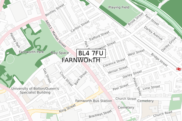
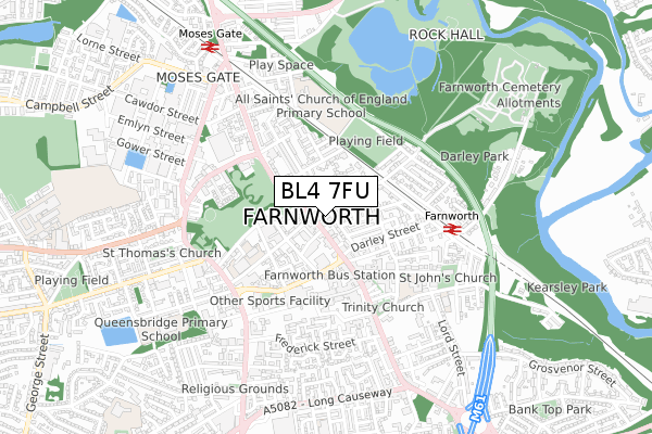
BL4 7FU is located in the Farnworth North electoral ward, within the metropolitan district of Bolton and the English Parliamentary constituency of Bolton South East. The Sub Integrated Care Board (ICB) Location is NHS Greater Manchester ICB - 00T and the police force is Greater Manchester. This postcode has been in use since February 2019.


GetTheData
Source: OS Open Zoomstack (Ordnance Survey)
Licence: Open Government Licence (requires attribution)
Attribution: Contains OS data © Crown copyright and database right 2025
Source: Open Postcode Geo
Licence: Open Government Licence (requires attribution)
Attribution: Contains OS data © Crown copyright and database right 2025; Contains Royal Mail data © Royal Mail copyright and database right 2025; Source: Office for National Statistics licensed under the Open Government Licence v.3.0
| Easting | 373929 |
| Northing | 406055 |
| Latitude | 53.550489 |
| Longitude | -2.394961 |
GetTheData
Source: Open Postcode Geo
Licence: Open Government Licence
| Country | England |
| Postcode District | BL4 |
➜ See where BL4 is on a map ➜ Where is Farnworth? | |
GetTheData
Source: Land Registry Price Paid Data
Licence: Open Government Licence
| Ward | Farnworth North |
| Constituency | Bolton South East |
GetTheData
Source: ONS Postcode Database
Licence: Open Government Licence
| Rawson Street (Ne Bnd) (Rawson Street) | Farnworth | 66m |
| Market Street/Farnworth Library (Market Street) | Farnworth | 101m |
| Market St/Farnworth Library (Market St) | Farnworth | 187m |
| Rawson Street (Sw Bnd) (Rawson Street) | Farnworth | 214m |
| Market St/Farnworth Town Ctr (Market Street) | Farnworth | 239m |
| Farnworth Station | 0.5km |
| Moses Gate Station | 0.7km |
| Kearsley Station | 1.5km |
GetTheData
Source: NaPTAN
Licence: Open Government Licence
GetTheData
Source: ONS Postcode Database
Licence: Open Government Licence


➜ Get more ratings from the Food Standards Agency
GetTheData
Source: Food Standards Agency
Licence: FSA terms & conditions
| Last Collection | |||
|---|---|---|---|
| Location | Mon-Fri | Sat | Distance |
| 119 Harper Green Road | 17:40 | 12:55 | 245m |
| Farnworth Station | 18:00 | 11:05 | 501m |
| Egerton Street/Gladstone Road | 17:50 | 11:55 | 555m |
GetTheData
Source: Dracos
Licence: Creative Commons Attribution-ShareAlike
The below table lists the International Territorial Level (ITL) codes (formerly Nomenclature of Territorial Units for Statistics (NUTS) codes) and Local Administrative Units (LAU) codes for BL4 7FU:
| ITL 1 Code | Name |
|---|---|
| TLD | North West (England) |
| ITL 2 Code | Name |
| TLD3 | Greater Manchester |
| ITL 3 Code | Name |
| TLD36 | Greater Manchester North West |
| LAU 1 Code | Name |
| E08000001 | Bolton |
GetTheData
Source: ONS Postcode Directory
Licence: Open Government Licence
The below table lists the Census Output Area (OA), Lower Layer Super Output Area (LSOA), and Middle Layer Super Output Area (MSOA) for BL4 7FU:
| Code | Name | |
|---|---|---|
| OA | E00024592 | |
| LSOA | E01004859 | Bolton 032B |
| MSOA | E02001015 | Bolton 032 |
GetTheData
Source: ONS Postcode Directory
Licence: Open Government Licence
| BL4 7NY | Market Street | 78m |
| BL4 7RE | Park Street | 78m |
| BL4 7RL | Park Street | 79m |
| BL4 7RQ | Elm Street | 80m |
| BL4 7NS | Market Street | 82m |
| BL4 7PE | Market Street | 83m |
| BL4 7RG | Moss Street | 117m |
| BL4 7RJ | Rawson Street | 119m |
| BL4 7PQ | Trafford Street | 120m |
| BL4 7RF | Clarence Street | 129m |
GetTheData
Source: Open Postcode Geo; Land Registry Price Paid Data
Licence: Open Government Licence