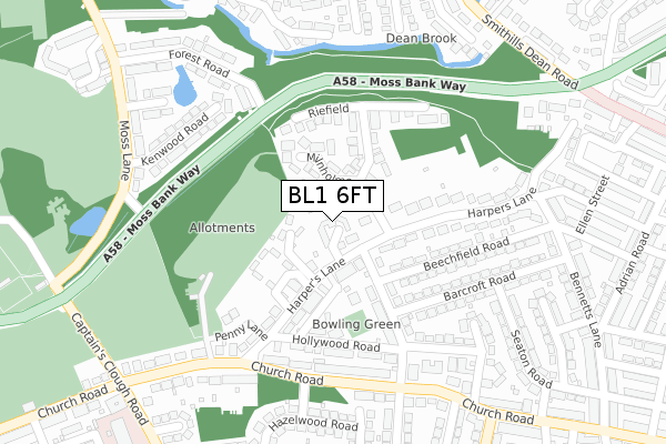
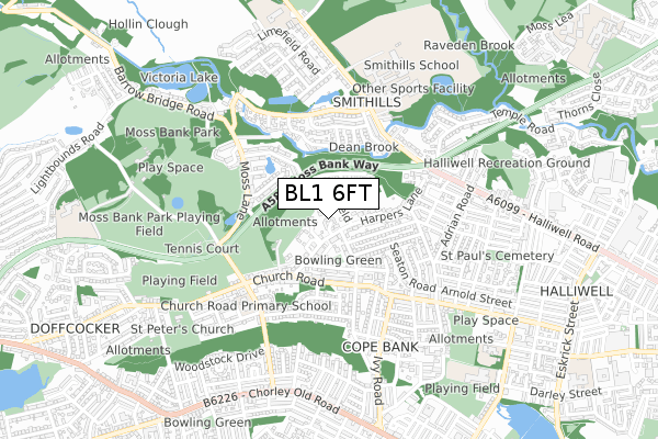
BL1 6FT is located in the Astley Bridge electoral ward, within the metropolitan district of Bolton and the English Parliamentary constituency of Bolton North East. The Sub Integrated Care Board (ICB) Location is NHS Greater Manchester ICB - 00T and the police force is Greater Manchester. This postcode has been in use since December 2019.


GetTheData
Source: OS Open Zoomstack (Ordnance Survey)
Licence: Open Government Licence (requires attribution)
Attribution: Contains OS data © Crown copyright and database right 2025
Source: Open Postcode Geo
Licence: Open Government Licence (requires attribution)
Attribution: Contains OS data © Crown copyright and database right 2025; Contains Royal Mail data © Royal Mail copyright and database right 2025; Source: Office for National Statistics licensed under the Open Government Licence v.3.0
| Easting | 370675 |
| Northing | 411656 |
| Latitude | 53.600659 |
| Longitude | -2.444600 |
GetTheData
Source: Open Postcode Geo
Licence: Open Government Licence
| Country | England |
| Postcode District | BL1 |
➜ See where BL1 is on a map ➜ Where is Bolton? | |
GetTheData
Source: Land Registry Price Paid Data
Licence: Open Government Licence
| Ward | Astley Bridge |
| Constituency | Bolton North East |
GetTheData
Source: ONS Postcode Database
Licence: Open Government Licence
8, SHARPLES MEADOWS, BOLTON, BL1 6FT 2021 19 MAR £504,746 |
2, SHARPLES MEADOWS, BOLTON, BL1 6FT 2021 19 MAR £659,995 |
10, SHARPLES MEADOWS, BOLTON, BL1 6FT 2020 30 OCT £434,495 |
6, SHARPLES MEADOWS, BOLTON, BL1 6FT 2020 31 JUL £504,995 |
14, SHARPLES MEADOWS, BOLTON, BL1 6FT 2020 19 JUN £579,995 |
12, SHARPLES MEADOWS, BOLTON, BL1 6FT 2020 31 MAR £589,995 |
GetTheData
Source: HM Land Registry Price Paid Data
Licence: Contains HM Land Registry data © Crown copyright and database right 2025. This data is licensed under the Open Government Licence v3.0.
| Moss Bank Way/Cricket Club (Moss Bank Way) | Sharples | 217m |
| Moss Bank Way/Cricket Club (Moss Bank Way) | Sharples | 224m |
| Thornleigh College (Sharples Park) | Sharples | 238m |
| Moss Bank Way/Temple Road (Moss Bank Way) | Halliwell | 319m |
| Moss Bank Way/Temple Road (Moss Bank Way) | Halliwell | 347m |
| Hall i' th' Wood Station | 2.1km |
| Bromley Cross Station | 2.7km |
| Bolton Station | 3.2km |
GetTheData
Source: NaPTAN
Licence: Open Government Licence
GetTheData
Source: ONS Postcode Database
Licence: Open Government Licence


➜ Get more ratings from the Food Standards Agency
GetTheData
Source: Food Standards Agency
Licence: FSA terms & conditions
| Last Collection | |||
|---|---|---|---|
| Location | Mon-Fri | Sat | Distance |
| Broad'oth Lane | 17:00 | 11:00 | 744m |
| Higher Blackburn Road P O | 17:10 | 12:00 | 953m |
| Bolton North Delivery Office | 18:45 | 12:25 | 1,190m |
GetTheData
Source: Dracos
Licence: Creative Commons Attribution-ShareAlike
The below table lists the International Territorial Level (ITL) codes (formerly Nomenclature of Territorial Units for Statistics (NUTS) codes) and Local Administrative Units (LAU) codes for BL1 6FT:
| ITL 1 Code | Name |
|---|---|
| TLD | North West (England) |
| ITL 2 Code | Name |
| TLD3 | Greater Manchester |
| ITL 3 Code | Name |
| TLD36 | Greater Manchester North West |
| LAU 1 Code | Name |
| E08000001 | Bolton |
GetTheData
Source: ONS Postcode Directory
Licence: Open Government Licence
The below table lists the Census Output Area (OA), Lower Layer Super Output Area (LSOA), and Middle Layer Super Output Area (MSOA) for BL1 6FT:
| Code | Name | |
|---|---|---|
| OA | E00024171 | |
| LSOA | E01004766 | Bolton 005A |
| MSOA | E02000988 | Bolton 005 |
GetTheData
Source: ONS Postcode Directory
Licence: Open Government Licence
| BL1 6PL | Moss Lea | 44m |
| BL1 6PD | Thorns Road | 222m |
| BL1 6PJ | Moss Bank Way | 234m |
| BL1 6PE | Thorns Close | 246m |
| BL1 6PN | Oldhams Lane | 265m |
| BL1 6PF | Moss Bank Way | 291m |
| BL1 6PA | Dryburgh Avenue | 316m |
| BL1 6PG | Sharples Park | 322m |
| BL1 6PY | Pendle Court | 330m |
| BL1 8FW | Brookside Walk | 348m |
GetTheData
Source: Open Postcode Geo; Land Registry Price Paid Data
Licence: Open Government Licence