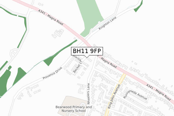
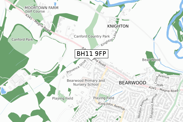
BH11 9FP maps, stats, and open data
BH11 9FP is located in the Bearwood & Merley electoral ward, within the unitary authority of Bournemouth, Christchurch and Poole and the English Parliamentary constituency of Mid Dorset and North Poole. The Sub Integrated Care Board (ICB) Location is NHS Dorset ICB - 11J and the police force is Dorset. This postcode has been in use since June 2019.
BH11 9FP maps


Licence: Open Government Licence (requires attribution)
Attribution: Contains OS data © Crown copyright and database right 2025
Source: Open Postcode Geo
Licence: Open Government Licence (requires attribution)
Attribution: Contains OS data © Crown copyright and database right 2025; Contains Royal Mail data © Royal Mail copyright and database right 2025; Source: Office for National Statistics licensed under the Open Government Licence v.3.0
BH11 9FP geodata
| Easting | 404586 |
| Northing | 97065 |
| Latitude | 50.773141 |
| Longitude | -1.936321 |
Where is BH11 9FP?
| Country | England |
| Postcode District | BH11 |
Politics
| Ward | Bearwood & Merley |
|---|---|
| Constituency | Mid Dorset And North Poole |
Transport
Nearest bus stops to BH11 9FP
| Knighton Garage (Magna Road) | Bearwood | 55m |
| Knighton Garage (Magna Road) | Bearwood | 178m |
| Wheelers Lane (King John Avenue) | Bearwood | 236m |
| Wheelers Lane (King John Avenue) | Bearwood | 244m |
| Canford Arena (Magna Road) | Bearwood | 273m |
Broadband
Broadband access in BH11 9FP (2020 data)
| Percentage of properties with Next Generation Access | 0.0% |
| Percentage of properties with Superfast Broadband | 0.0% |
| Percentage of properties with Ultrafast Broadband | 0.0% |
| Percentage of properties with Full Fibre Broadband | 0.0% |
Superfast Broadband is between 30Mbps and 300Mbps
Ultrafast Broadband is > 300Mbps
Broadband limitations in BH11 9FP (2020 data)
| Percentage of properties unable to receive 2Mbps | 0.0% |
| Percentage of properties unable to receive 5Mbps | 0.0% |
| Percentage of properties unable to receive 10Mbps | 0.0% |
| Percentage of properties unable to receive 30Mbps | 0.0% |
Deprivation
51.3% of English postcodes are less deprived than BH11 9FP:Food Standards Agency
Three nearest food hygiene ratings to BH11 9FP (metres)


➜ Get more ratings from the Food Standards Agency
Nearest post box to BH11 9FP
| Last Collection | |||
|---|---|---|---|
| Location | Mon-Fri | Sat | Distance |
| King John Ave | 17:30 | 12:00 | 223m |
| Community Centre | 17:30 | 12:00 | 688m |
| Moortown Canford | 16:45 | 12:00 | 693m |
BH11 9FP ITL and BH11 9FP LAU
The below table lists the International Territorial Level (ITL) codes (formerly Nomenclature of Territorial Units for Statistics (NUTS) codes) and Local Administrative Units (LAU) codes for BH11 9FP:
| ITL 1 Code | Name |
|---|---|
| TLK | South West (England) |
| ITL 2 Code | Name |
| TLK2 | Dorset and Somerset |
| ITL 3 Code | Name |
| TLK24 | Bournemouth, Christchurch and Poole |
| LAU 1 Code | Name |
| E06000058 | Bournemouth, Christchurch and Poole |
BH11 9FP census areas
The below table lists the Census Output Area (OA), Lower Layer Super Output Area (LSOA), and Middle Layer Super Output Area (MSOA) for BH11 9FP:
| Code | Name | |
|---|---|---|
| OA | E00078045 | |
| LSOA | E01015435 | Poole 002B |
| MSOA | E02003195 | Poole 002 |
Nearest postcodes to BH11 9FP
| BH11 9RR | Wheelers Lane | 153m |
| BH11 9UW | King John Avenue | 189m |
| BH21 3AW | Magna Road | 230m |
| BH11 9QQ | Wheelers Lane | 232m |
| BH11 9RS | King John Avenue | 257m |
| BH11 9RW | King John Avenue | 272m |
| BH11 9NB | Magna Road | 289m |
| BH11 9RT | King John Avenue | 300m |
| BH11 9NE | Magna Road | 344m |
| BH11 9RP | Barons Road | 362m |