Property/Postcode Data Search:
BD5 8FG maps, stats, and open data
BD5 8FG is located in the Wibsey electoral ward, within the metropolitan district of Bradford and the English Parliamentary constituency of Bradford South. The Sub Integrated Care Board (ICB) Location is NHS West Yorkshire ICB - 36J and the police force is West Yorkshire. This postcode has been in use since August 2018.
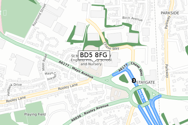
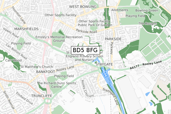
BD5 8FG maps


Source: OS Open Zoomstack (Ordnance Survey)
Licence: Open Government Licence (requires attribution)
Attribution: Contains OS data © Crown copyright and database right 2025
Source: Open Postcode Geo
Licence: Open Government Licence (requires attribution)
Attribution: Contains OS data © Crown copyright and database right 2025; Contains Royal Mail data © Royal Mail copyright and database right 2025; Source: Office for National Statistics licensed under the Open Government Licence v.3.0
Licence: Open Government Licence (requires attribution)
Attribution: Contains OS data © Crown copyright and database right 2025
Source: Open Postcode Geo
Licence: Open Government Licence (requires attribution)
Attribution: Contains OS data © Crown copyright and database right 2025; Contains Royal Mail data © Royal Mail copyright and database right 2025; Source: Office for National Statistics licensed under the Open Government Licence v.3.0
BD5 8FG geodata
| Easting | 416368 |
| Northing | 430445 |
| Latitude | 53.770109 |
| Longitude | -1.753152 |
Where is BD5 8FG?
| Country | England |
| Postcode District | BD5 |
Politics
| Ward | Wibsey |
|---|---|
| Constituency | Bradford South |
Transport
Nearest bus stops to BD5 8FG
| Mayo Ave Rooley Lane (Mayo Avenue) | Staygate | 70m |
| Mayo Ave Rooley Lane (Rooley Lane) | Staygate | 90m |
| Rooley Lane Woodleigh Ave (Rooley Lane) | Staygate | 113m |
| Rooley Lane Staygate Roundabout (Rooley Lane) | Staygate | 203m |
| Rooley Ave Staithgate Lane (Rooley Avenue) | Staygate | 229m |
Nearest railway stations to BD5 8FG
| Low Moor Station | 2.2km |
| Bradford Interchange Station | 2.3km |
| Bradford Forster Square Station | 3km |
Deprivation
81.1% of English postcodes are less deprived than BD5 8FG:Food Standards Agency
Three nearest food hygiene ratings to BD5 8FG (metres)
FM Catering Services at St Matthews CE Primary School

Mayo Avenue
126m
Cedar Court Hotel and Absurd Stacks

Chase Way
141m
Pearls Tearoom & Patisserie

46 Rooley Avenue
218m
➜ Get more ratings from the Food Standards Agency
Nearest post box to BD5 8FG
| Last Collection | |||
|---|---|---|---|
| Location | Mon-Fri | Sat | Distance |
| 120 Mayo Avenue | 18:00 | 12:15 | 268m |
| Woodroyd Works | 17:30 | 12:00 | 416m |
| 100 Parkway | 17:30 | 12:00 | 420m |
BD5 8FG ITL and BD5 8FG LAU
The below table lists the International Territorial Level (ITL) codes (formerly Nomenclature of Territorial Units for Statistics (NUTS) codes) and Local Administrative Units (LAU) codes for BD5 8FG:
| ITL 1 Code | Name |
|---|---|
| TLE | Yorkshire and The Humber |
| ITL 2 Code | Name |
| TLE4 | West Yorkshire |
| ITL 3 Code | Name |
| TLE41 | Bradford |
| LAU 1 Code | Name |
| E08000032 | Bradford |
BD5 8FG census areas
The below table lists the Census Output Area (OA), Lower Layer Super Output Area (LSOA), and Middle Layer Super Output Area (MSOA) for BD5 8FG:
| Code | Name | |
|---|---|---|
| OA | E00054223 | |
| LSOA | E01010747 | Bradford 056B |
| MSOA | E02002238 | Bradford 056 |
Nearest postcodes to BD5 8FG
| BD5 8HU | Birch Grove | 122m |
| BD5 8HW | Chase Way | 139m |
| BD5 8JN | Rooley Lane | 160m |
| BD5 8AS | Low Newhall Field | 167m |
| BD5 8HX | Mayo Grove | 168m |
| BD5 8JP | Woodleigh Avenue | 170m |
| BD5 8HY | Mayo Avenue | 181m |
| BD5 8JB | Mayo Crescent | 197m |
| BD5 8HT | Mayo Avenue | 198m |
| BD5 8JL | Rooley Close | 217m |