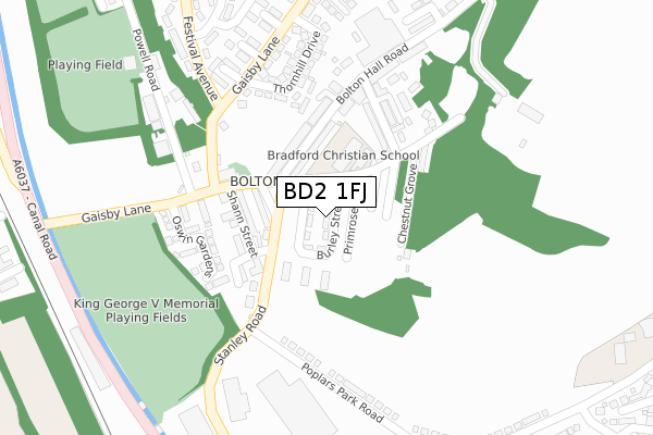
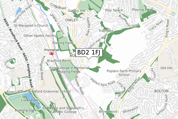
BD2 1FJ is located in the Windhill and Wrose electoral ward, within the metropolitan district of Bradford and the English Parliamentary constituency of Shipley. The Sub Integrated Care Board (ICB) Location is NHS West Yorkshire ICB - 36J and the police force is West Yorkshire. This postcode has been in use since September 2018.


GetTheData
Source: OS Open Zoomstack (Ordnance Survey)
Licence: Open Government Licence (requires attribution)
Attribution: Contains OS data © Crown copyright and database right 2025
Source: Open Postcode Geo
Licence: Open Government Licence (requires attribution)
Attribution: Contains OS data © Crown copyright and database right 2025; Contains Royal Mail data © Royal Mail copyright and database right 2025; Source: Office for National Statistics licensed under the Open Government Licence v.3.0
| Easting | 415877 |
| Northing | 435898 |
| Latitude | 53.819135 |
| Longitude | -1.760323 |
GetTheData
Source: Open Postcode Geo
Licence: Open Government Licence
| Country | England |
| Postcode District | BD2 |
➜ See where BD2 is on a map ➜ Where is Bradford? | |
GetTheData
Source: Land Registry Price Paid Data
Licence: Open Government Licence
| Ward | Windhill And Wrose |
| Constituency | Shipley |
GetTheData
Source: ONS Postcode Database
Licence: Open Government Licence
| Stanley Rd Livingstone Road (Stanley Road) | Bolton Woods | 98m |
| Bute Street Stanley Rd (Stanley Road) | Bolton Woods | 118m |
| Gaisby Lane Powell Rd (Gaisby Lane) | Bolton Woods | 216m |
| Gaisby Lane Powell Rd (Gaisby Lane) | Bolton Woods | 221m |
| Gaisby Lane Powell Rd (Gaisby Lane) | Bolton Woods | 223m |
| Frizinghall Station | 0.6km |
| Shipley Station | 1.8km |
| Bradford Forster Square Station | 2.5km |
GetTheData
Source: NaPTAN
Licence: Open Government Licence
| Percentage of properties with Next Generation Access | 100.0% |
| Percentage of properties with Superfast Broadband | 100.0% |
| Percentage of properties with Ultrafast Broadband | 100.0% |
| Percentage of properties with Full Fibre Broadband | 100.0% |
Superfast Broadband is between 30Mbps and 300Mbps
Ultrafast Broadband is > 300Mbps
| Percentage of properties unable to receive 2Mbps | 0.0% |
| Percentage of properties unable to receive 5Mbps | 0.0% |
| Percentage of properties unable to receive 10Mbps | 0.0% |
| Percentage of properties unable to receive 30Mbps | 0.0% |
GetTheData
Source: Ofcom
Licence: Ofcom Terms of Use (requires attribution)
GetTheData
Source: ONS Postcode Database
Licence: Open Government Licence


➜ Get more ratings from the Food Standards Agency
GetTheData
Source: Food Standards Agency
Licence: FSA terms & conditions
| Last Collection | |||
|---|---|---|---|
| Location | Mon-Fri | Sat | Distance |
| Poplars Park Road | 17:45 | 10:00 | 695m |
| 3 Broome Avenue | 17:45 | 10:00 | 753m |
| Windhill | 17:45 | 12:30 | 982m |
GetTheData
Source: Dracos
Licence: Creative Commons Attribution-ShareAlike
The below table lists the International Territorial Level (ITL) codes (formerly Nomenclature of Territorial Units for Statistics (NUTS) codes) and Local Administrative Units (LAU) codes for BD2 1FJ:
| ITL 1 Code | Name |
|---|---|
| TLE | Yorkshire and The Humber |
| ITL 2 Code | Name |
| TLE4 | West Yorkshire |
| ITL 3 Code | Name |
| TLE41 | Bradford |
| LAU 1 Code | Name |
| E08000032 | Bradford |
GetTheData
Source: ONS Postcode Directory
Licence: Open Government Licence
The below table lists the Census Output Area (OA), Lower Layer Super Output Area (LSOA), and Middle Layer Super Output Area (MSOA) for BD2 1FJ:
| Code | Name | |
|---|---|---|
| OA | E00054381 | |
| LSOA | E01010778 | Bradford 024E |
| MSOA | E02002206 | Bradford 024 |
GetTheData
Source: ONS Postcode Directory
Licence: Open Government Licence
| BD2 1BT | Livingstone Road | 107m |
| BD2 1DH | Bute Street | 128m |
| BD2 1DJ | Shann Street | 142m |
| BD2 1BP | Chestnut Grove | 143m |
| BD2 1BE | Bolton Hall Road | 144m |
| BD2 1BL | Mexborough Road | 157m |
| BD2 1BN | Livingstone Road | 170m |
| BD2 1DL | Montrose Street | 180m |
| BD2 1BB | Livingstone Road | 185m |
| BD2 1BW | Clifford Close | 202m |
GetTheData
Source: Open Postcode Geo; Land Registry Price Paid Data
Licence: Open Government Licence