BD19 4FA maps, stats, and open data
- Home
- Postcode
- BD
- BD19
- BD19 4
BD19 4FA is located in the Liversedge and Gomersal electoral ward, within the metropolitan district of Kirklees and the English Parliamentary constituency of Batley and Spen. The Sub Integrated Care Board (ICB) Location is NHS West Yorkshire ICB - X2C4Y and the police force is West Yorkshire. This postcode has been in use since July 2018.
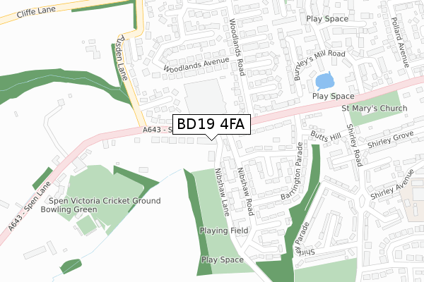
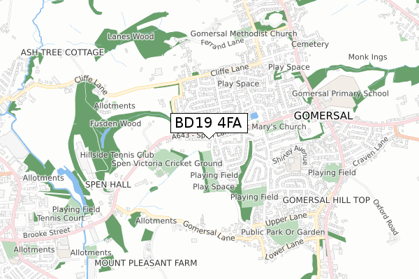
BD19 4FA maps


Source: OS Open Zoomstack (Ordnance Survey)
Licence: Open Government Licence (requires attribution)
Attribution: Contains OS data © Crown copyright and database right 2025
Source: Open Postcode GeoLicence: Open Government Licence (requires attribution)
Attribution: Contains OS data © Crown copyright and database right 2025; Contains Royal Mail data © Royal Mail copyright and database right 2025; Source: Office for National Statistics licensed under the Open Government Licence v.3.0
BD19 4FA geodata
| Easting | 420264 |
| Northing | 425838 |
| Latitude | 53.728566 |
| Longitude | -1.694344 |
Where is BD19 4FA?
| Country | England |
| Postcode District | BD19 |
Politics
| Ward | Liversedge And Gomersal |
|---|
| Constituency | Batley And Spen |
|---|
Transport
Nearest bus stops to BD19 4FA
| Spen Lane Nibshaw Rd (Spen Lane) | Gomersal | 27m |
| Spen Lane Nibshaw Rd (Spen Lane) | Gomersal | 69m |
| Spen Lane Fusden Ln (Spen Lane) | Gomersal | 148m |
| Spen Lane Fusden Ln (Spen Lane) | Gomersal | 157m |
| Woodlands Rd Woodlands Avenue (Woodlands Road) | Gomersal | 214m |
Nearest railway stations to BD19 4FA
| Low Moor Station | 4.6km |
| Batley Station | 5.1km |
| Dewsbury Station | 5.7km |
Broadband
Broadband access in BD19 4FA (2020 data)
| Percentage of properties with Next Generation Access | 100.0% |
| Percentage of properties with Superfast Broadband | 100.0% |
| Percentage of properties with Ultrafast Broadband | 100.0% |
| Percentage of properties with Full Fibre Broadband | 100.0% |
Superfast Broadband is between 30Mbps and 300Mbps
Ultrafast Broadband is > 300Mbps
Broadband limitations in BD19 4FA (2020 data)
| Percentage of properties unable to receive 2Mbps | 0.0% |
| Percentage of properties unable to receive 5Mbps | 0.0% |
| Percentage of properties unable to receive 10Mbps | 0.0% |
| Percentage of properties unable to receive 30Mbps | 0.0% |
Deprivation
76.1% of English postcodes are less deprived than
BD19 4FA:
Food Standards Agency
Three nearest food hygiene ratings to BD19 4FA (metres)
Mushy's
Happy Garden
Morrisons Daily
➜ Get more ratings from the Food Standards Agency
Nearest post box to BD19 4FA
| | Last Collection | |
|---|
| Location | Mon-Fri | Sat | Distance |
|---|
| 49 Fusden Lane Gomersal | 17:30 | 12:30 | 171m |
| 331 Cliffe Lane Gomersal | 17:45 | 12:30 | 473m |
| Spen Junction | 17:30 | 12:15 | 615m |
BD19 4FA ITL and BD19 4FA LAU
The below table lists the International Territorial Level (ITL) codes (formerly Nomenclature of Territorial Units for Statistics (NUTS) codes) and Local Administrative Units (LAU) codes for BD19 4FA:
| ITL 1 Code | Name |
|---|
| TLE | Yorkshire and The Humber |
| ITL 2 Code | Name |
|---|
| TLE4 | West Yorkshire |
| ITL 3 Code | Name |
|---|
| TLE44 | Calderdale and Kirklees |
| LAU 1 Code | Name |
|---|
| E08000034 | Kirklees |
BD19 4FA census areas
The below table lists the Census Output Area (OA), Lower Layer Super Output Area (LSOA), and Middle Layer Super Output Area (MSOA) for BD19 4FA:
| Code | Name |
|---|
| OA | E00056645 | |
|---|
| LSOA | E01011242 | Kirklees 004B |
|---|
| MSOA | E02002274 | Kirklees 004 |
|---|
Nearest postcodes to BD19 4FA


