BD12 9RA maps, stats, and open data
- Home
- Postcode
- BD
- BD12
- BD12 9
BD12 9RA is located in the Wyke electoral ward, within the metropolitan district of Bradford and the English Parliamentary constituency of Bradford South. The Sub Integrated Care Board (ICB) Location is NHS West Yorkshire ICB - 36J and the police force is West Yorkshire. This postcode has been in use since March 2018.
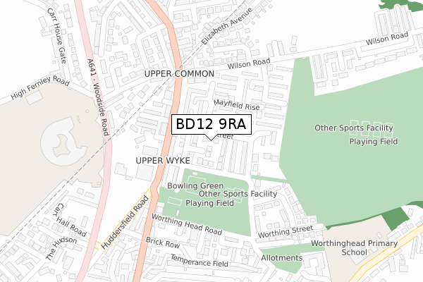
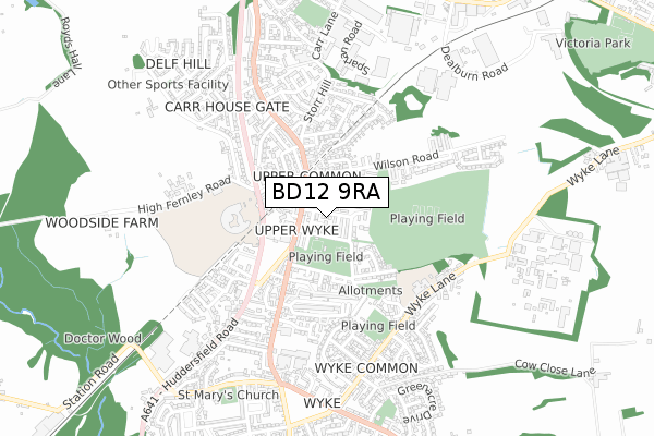
BD12 9RA maps


Source: OS Open Zoomstack (Ordnance Survey)
Licence: Open Government Licence (requires attribution)
Attribution: Contains OS data © Crown copyright and database right 2025
Source: Open Postcode GeoLicence: Open Government Licence (requires attribution)
Attribution: Contains OS data © Crown copyright and database right 2025; Contains Royal Mail data © Royal Mail copyright and database right 2025; Source: Office for National Statistics licensed under the Open Government Licence v.3.0
BD12 9RA geodata
| Easting | 415539 |
| Northing | 427380 |
| Latitude | 53.742586 |
| Longitude | -1.765883 |
Where is BD12 9RA?
| Country | England |
| Postcode District | BD12 |
Politics
| Ward | Wyke |
|---|
| Constituency | Bradford South |
|---|
Transport
Nearest bus stops to BD12 9RA
| Mayfield View | Wyke | 107m |
| Huddersfield Road Mayfield Ave (Huddersfield Road) | Wyke | 117m |
| Huddersfield Road Towngate (Huddersfield Road) | Wyke | 156m |
| Town Gate Worthing Head Road (Town Gate) | Wyke | 214m |
| Huddersfield Rd Back Road (Huddersfield Road) | Wyke | 238m |
Nearest railway stations to BD12 9RA
| Low Moor Station | 1.2km |
| Brighouse Station | 5km |
Broadband
Broadband access in BD12 9RA (2020 data)
| Percentage of properties with Next Generation Access | 100.0% |
| Percentage of properties with Superfast Broadband | 100.0% |
| Percentage of properties with Ultrafast Broadband | 0.0% |
| Percentage of properties with Full Fibre Broadband | 0.0% |
Superfast Broadband is between 30Mbps and 300Mbps
Ultrafast Broadband is > 300Mbps
Broadband speed in BD12 9RA (2019 data)
Download
| Median download speed | 40.0Mbps |
| Average download speed | 42.7Mbps |
| Maximum download speed | 78.07Mbps |
Upload
| Median upload speed | 10.0Mbps |
| Average upload speed | 10.3Mbps |
| Maximum upload speed | 19.53Mbps |
Broadband limitations in BD12 9RA (2020 data)
| Percentage of properties unable to receive 2Mbps | 0.0% |
| Percentage of properties unable to receive 5Mbps | 0.0% |
| Percentage of properties unable to receive 10Mbps | 0.0% |
| Percentage of properties unable to receive 30Mbps | 0.0% |
Deprivation
83.6% of English postcodes are less deprived than
BD12 9RA:
Food Standards Agency
Three nearest food hygiene ratings to BD12 9RA (metres)
Wyke ARLFC
Wyke Recreation Ground
83m
Rendezvous Deli and Tea Rooms
526 Huddersfield Road
122m
Costcutter
484-486 Huddersfield Road
229m
➜ Get more ratings from the Food Standards Agency
Nearest post box to BD12 9RA
| | Last Collection | |
|---|
| Location | Mon-Fri | Sat | Distance |
|---|
| Carr Lane | 17:00 | 12:00 | 950m |
| Low Moor Business Box | 18:30 | 11:45 | 961m |
| 451 Cleckheaton Road | 17:45 | 11:45 | 1,541m |
BD12 9RA ITL and BD12 9RA LAU
The below table lists the International Territorial Level (ITL) codes (formerly Nomenclature of Territorial Units for Statistics (NUTS) codes) and Local Administrative Units (LAU) codes for BD12 9RA:
| ITL 1 Code | Name |
|---|
| TLE | Yorkshire and The Humber |
| ITL 2 Code | Name |
|---|
| TLE4 | West Yorkshire |
| ITL 3 Code | Name |
|---|
| TLE41 | Bradford |
| LAU 1 Code | Name |
|---|
| E08000032 | Bradford |
BD12 9RA census areas
The below table lists the Census Output Area (OA), Lower Layer Super Output Area (LSOA), and Middle Layer Super Output Area (MSOA) for BD12 9RA:
| Code | Name |
|---|
| OA | E00054763 | |
|---|
| LSOA | E01010869 | Bradford 061B |
|---|
| MSOA | E02002243 | Bradford 061 |
|---|
Nearest postcodes to BD12 9RA


