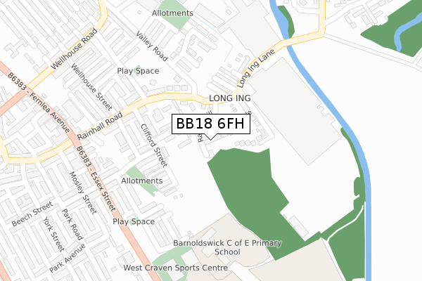
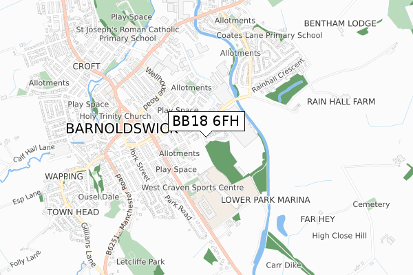
BB18 6FH is located in the Barnoldswick electoral ward, within the local authority district of Pendle and the English Parliamentary constituency of Pendle. The Sub Integrated Care Board (ICB) Location is NHS Lancashire and South Cumbria ICB - 01A and the police force is Lancashire. This postcode has been in use since September 2019.


GetTheData
Source: OS Open Zoomstack (Ordnance Survey)
Licence: Open Government Licence (requires attribution)
Attribution: Contains OS data © Crown copyright and database right 2025
Source: Open Postcode Geo
Licence: Open Government Licence (requires attribution)
Attribution: Contains OS data © Crown copyright and database right 2025; Contains Royal Mail data © Royal Mail copyright and database right 2025; Source: Office for National Statistics licensed under the Open Government Licence v.3.0
| Easting | 388279 |
| Northing | 446678 |
| Latitude | 53.916127 |
| Longitude | -2.179936 |
GetTheData
Source: Open Postcode Geo
Licence: Open Government Licence
| Country | England |
| Postcode District | BB18 |
➜ See where BB18 is on a map ➜ Where is Barnoldswick? | |
GetTheData
Source: Land Registry Price Paid Data
Licence: Open Government Licence
| Ward | Barnoldswick |
| Constituency | Pendle |
GetTheData
Source: ONS Postcode Database
Licence: Open Government Licence
8, RAIKES WOOD CLOSE, BARNOLDSWICK, BB18 6FH 2019 20 DEC £260,000 |
6, RAIKES WOOD CLOSE, BARNOLDSWICK, BB18 6FH 2019 20 DEC £264,995 |
10, RAIKES WOOD CLOSE, BARNOLDSWICK, BB18 6FH 2019 13 DEC £264,995 |
12, RAIKES WOOD CLOSE, BARNOLDSWICK, BB18 6FH 2019 13 DEC £260,000 |
GetTheData
Source: HM Land Registry Price Paid Data
Licence: Contains HM Land Registry data © Crown copyright and database right 2025. This data is licensed under the Open Government Licence v3.0.
| Silentnight (Long Ing Lane) | Long Ing | 195m |
| Silentnight (Long Ing Lane) | Long Ing | 209m |
| Sussex Street (Essex Street) | Barnoldswick | 303m |
| Park Street (Essex Street) | Barnoldswick | 314m |
| Harrison Street (Kelbrook Road) | Barnoldswick | 316m |
GetTheData
Source: NaPTAN
Licence: Open Government Licence
GetTheData
Source: ONS Postcode Database
Licence: Open Government Licence


➜ Get more ratings from the Food Standards Agency
GetTheData
Source: Food Standards Agency
Licence: FSA terms & conditions
| Last Collection | |||
|---|---|---|---|
| Location | Mon-Fri | Sat | Distance |
| Barnoldswick Post Office | 18:30 | 12:00 | 444m |
| Ghyll Meadows | 17:30 | 11:30 | 1,097m |
| Salterforth Post Office | 17:30 | 11:15 | 1,410m |
GetTheData
Source: Dracos
Licence: Creative Commons Attribution-ShareAlike
The below table lists the International Territorial Level (ITL) codes (formerly Nomenclature of Territorial Units for Statistics (NUTS) codes) and Local Administrative Units (LAU) codes for BB18 6FH:
| ITL 1 Code | Name |
|---|---|
| TLD | North West (England) |
| ITL 2 Code | Name |
| TLD4 | Lancashire |
| ITL 3 Code | Name |
| TLD46 | East Lancashire |
| LAU 1 Code | Name |
| E07000122 | Pendle |
GetTheData
Source: ONS Postcode Directory
Licence: Open Government Licence
The below table lists the Census Output Area (OA), Lower Layer Super Output Area (LSOA), and Middle Layer Super Output Area (MSOA) for BB18 6FH:
| Code | Name | |
|---|---|---|
| OA | E00127885 | |
| LSOA | E01025198 | Pendle 002D |
| MSOA | E02005241 | Pendle 002 |
GetTheData
Source: ONS Postcode Directory
Licence: Open Government Licence
| BB18 6BG | Moss Side | 46m |
| BB18 6BX | Langsford Close | 88m |
| BB18 6BE | Victoria Road | 91m |
| BB18 6BU | Rankin Close | 111m |
| BB18 6BW | Riding Close | 120m |
| BB18 6BQ | Clayton Street | 120m |
| BB18 6BH | Coronation Street | 153m |
| BB18 6AG | Clifford Street | 160m |
| BB18 6AF | Myrtle Grove | 169m |
| BB18 6AE | Beech Grove | 170m |
GetTheData
Source: Open Postcode Geo; Land Registry Price Paid Data
Licence: Open Government Licence