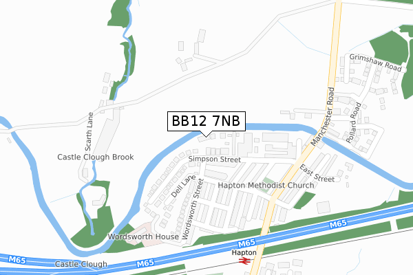
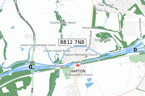
BB12 7NB is located in the Hapton with Park electoral ward, within the local authority district of Burnley and the English Parliamentary constituency of Burnley. The Sub Integrated Care Board (ICB) Location is NHS Lancashire and South Cumbria ICB - 01A and the police force is Lancashire. This postcode has been in use since December 2017.


GetTheData
Source: OS Open Zoomstack (Ordnance Survey)
Licence: Open Government Licence (requires attribution)
Attribution: Contains OS data © Crown copyright and database right 2025
Source: Open Postcode Geo
Licence: Open Government Licence (requires attribution)
Attribution: Contains OS data © Crown copyright and database right 2025; Contains Royal Mail data © Royal Mail copyright and database right 2025; Source: Office for National Statistics licensed under the Open Government Licence v.3.0
| Easting | 379134 |
| Northing | 432047 |
| Latitude | 53.784338 |
| Longitude | -2.318161 |
GetTheData
Source: Open Postcode Geo
Licence: Open Government Licence
| Country | England |
| Postcode District | BB12 |
➜ See where BB12 is on a map ➜ Where is Hapton? | |
GetTheData
Source: Land Registry Price Paid Data
Licence: Open Government Licence
| Ward | Hapton With Park |
| Constituency | Burnley |
GetTheData
Source: ONS Postcode Database
Licence: Open Government Licence
| Railway Inn (Manchester Road) | Hapton | 222m |
| Railway Inn (Manchester Road) | Hapton | 225m |
| Rail Station (Manchester Road) | Hapton | 375m |
| Railway Station (Manchester Road) | Hapton | 394m |
| Stone Moor (Manchester Road) | Hapton | 427m |
| Hapton Station | 0.3km |
| Rose Grove Station | 2.3km |
| Huncoat Station | 2.4km |
GetTheData
Source: NaPTAN
Licence: Open Government Licence
| Percentage of properties with Next Generation Access | 100.0% |
| Percentage of properties with Superfast Broadband | 100.0% |
| Percentage of properties with Ultrafast Broadband | 0.0% |
| Percentage of properties with Full Fibre Broadband | 0.0% |
Superfast Broadband is between 30Mbps and 300Mbps
Ultrafast Broadband is > 300Mbps
| Percentage of properties unable to receive 2Mbps | 0.0% |
| Percentage of properties unable to receive 5Mbps | 0.0% |
| Percentage of properties unable to receive 10Mbps | 0.0% |
| Percentage of properties unable to receive 30Mbps | 0.0% |
GetTheData
Source: Ofcom
Licence: Ofcom Terms of Use (requires attribution)
GetTheData
Source: ONS Postcode Database
Licence: Open Government Licence


➜ Get more ratings from the Food Standards Agency
GetTheData
Source: Food Standards Agency
Licence: FSA terms & conditions
| Last Collection | |||
|---|---|---|---|
| Location | Mon-Fri | Sat | Distance |
| Padiham Post Office | 18:00 | 11:00 | 1,908m |
| Burnley Road | 17:30 | 11:00 | 1,918m |
| 81 Rosegrove Lane | 16:00 | 11:00 | 2,224m |
GetTheData
Source: Dracos
Licence: Creative Commons Attribution-ShareAlike
The below table lists the International Territorial Level (ITL) codes (formerly Nomenclature of Territorial Units for Statistics (NUTS) codes) and Local Administrative Units (LAU) codes for BB12 7NB:
| ITL 1 Code | Name |
|---|---|
| TLD | North West (England) |
| ITL 2 Code | Name |
| TLD4 | Lancashire |
| ITL 3 Code | Name |
| TLD46 | East Lancashire |
| LAU 1 Code | Name |
| E07000117 | Burnley |
GetTheData
Source: ONS Postcode Directory
Licence: Open Government Licence
The below table lists the Census Output Area (OA), Lower Layer Super Output Area (LSOA), and Middle Layer Super Output Area (MSOA) for BB12 7NB:
| Code | Name | |
|---|---|---|
| OA | E00126315 | |
| LSOA | E01024887 | Burnley 011B |
| MSOA | E02005186 | Burnley 011 |
GetTheData
Source: ONS Postcode Directory
Licence: Open Government Licence
| BB12 7LJ | Simpson Street | 69m |
| BB12 7LS | Hampden Street | 102m |
| BB12 7JY | Whitefield Street | 114m |
| BB12 7JZ | Norton Street | 124m |
| BB12 7LA | Church Street | 142m |
| BB12 7JT | Castle Street | 169m |
| BB12 7JU | Wood Street | 177m |
| BB12 7JS | Bridgefield Street | 198m |
| BB12 7JX | Wordsworth Street | 199m |
| BB12 7LD | North Street | 199m |
GetTheData
Source: Open Postcode Geo; Land Registry Price Paid Data
Licence: Open Government Licence