BA2 5FB maps, stats, and open data
BA2 5FB is located in the Combe Down electoral ward, within the unitary authority of Bath and North East Somerset and the English Parliamentary constituency of Bath. The Sub Integrated Care Board (ICB) Location is NHS Bath and North East Somerset, Swindon and Wiltshire ICB - 92 and the police force is Avon and Somerset. This postcode has been in use since January 2020.
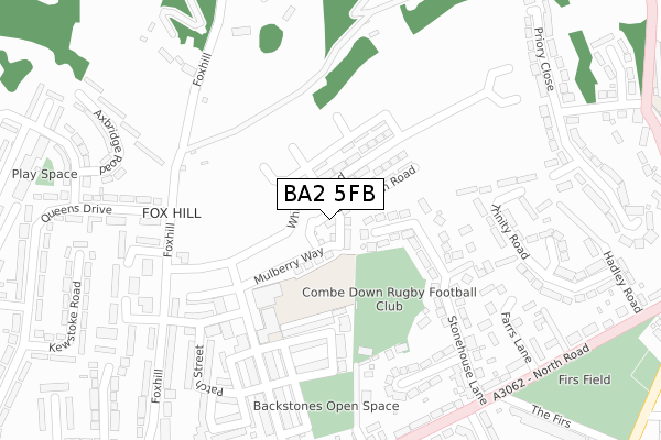
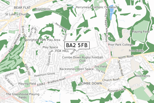
BA2 5FB maps


Licence: Open Government Licence (requires attribution)
Attribution: Contains OS data © Crown copyright and database right 2025
Source: Open Postcode Geo
Licence: Open Government Licence (requires attribution)
Attribution: Contains OS data © Crown copyright and database right 2025; Contains Royal Mail data © Royal Mail copyright and database right 2025; Source: Office for National Statistics licensed under the Open Government Licence v.3.0
BA2 5FB geodata
| Easting | 375528 |
| Northing | 162769 |
| Latitude | 51.363451 |
| Longitude | -2.352884 |
Where is BA2 5FB?
| Country | England |
| Postcode District | BA2 |
Politics
| Ward | Combe Down |
|---|---|
| Constituency | Bath |
Transport
Nearest bus stops to BA2 5FB
| Queen's Drive (Fox Hill) | Fox Hill | 255m |
| Bradford Park (Fox Hill) | Fox Hill | 321m |
| Stonehouse Lane (North Road) | Combe Down | 352m |
| Combe Road (North Road) | Combe Down | 358m |
| Meare Road (Queen's Drive) | Fox Hill | 373m |
Nearest railway stations to BA2 5FB
| Bath Spa Station | 1.6km |
| Oldfield Park Station | 2.6km |
| Freshford Station | 4.3km |
Deprivation
8.7% of English postcodes are less deprived than BA2 5FB:Food Standards Agency
Three nearest food hygiene ratings to BA2 5FB (metres)


➜ Get more ratings from the Food Standards Agency
Nearest post box to BA2 5FB
| Last Collection | |||
|---|---|---|---|
| Location | Mon-Fri | Sat | Distance |
| Junction Road | 17:30 | 11:30 | 568m |
| Abbey Cemetery | 17:30 | 12:45 | 818m |
| Lyncombe Vale Road | 17:30 | 12:45 | 840m |
BA2 5FB ITL and BA2 5FB LAU
The below table lists the International Territorial Level (ITL) codes (formerly Nomenclature of Territorial Units for Statistics (NUTS) codes) and Local Administrative Units (LAU) codes for BA2 5FB:
| ITL 1 Code | Name |
|---|---|
| TLK | South West (England) |
| ITL 2 Code | Name |
| TLK1 | Gloucestershire, Wiltshire and Bath/Bristol area |
| ITL 3 Code | Name |
| TLK12 | Bath and North East Somerset, North Somerset and South Gloucestershire |
| LAU 1 Code | Name |
| E06000022 | Bath and North East Somerset |
BA2 5FB census areas
The below table lists the Census Output Area (OA), Lower Layer Super Output Area (LSOA), and Middle Layer Super Output Area (MSOA) for BA2 5FB:
| Code | Name | |
|---|---|---|
| OA | E00072670 | |
| LSOA | E01014389 | Bath and North East Somerset 018C |
| MSOA | E02003002 | Bath and North East Somerset 018 |
Nearest postcodes to BA2 5FB
| BA2 5DW | Stonehouse Lane | 175m |
| BA2 5AS | Fox Hill | 239m |
| BA2 5DP | Stonehouse Close | 256m |
| BA2 5DR | Bramble Way | 279m |
| BA2 5DU | Farrs Lane | 283m |
| BA2 5AT | Fox Hill | 284m |
| BA2 5DT | Farrs Lane | 299m |
| BA2 5PS | Bradford Park | 315m |
| BA2 5PE | Queens Drive | 318m |
| BA2 5DE | North Road | 336m |