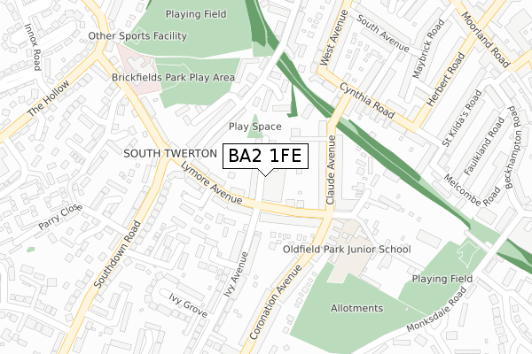
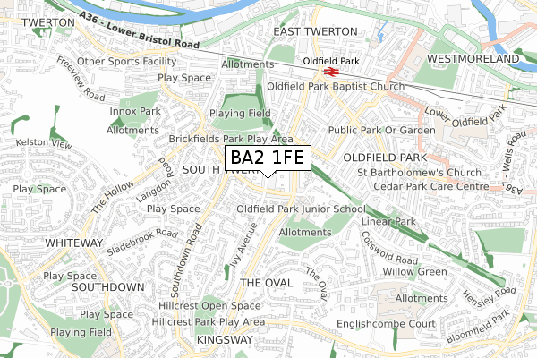
BA2 1FE is located in the Southdown electoral ward, within the unitary authority of Bath and North East Somerset and the English Parliamentary constituency of Bath. The Sub Integrated Care Board (ICB) Location is NHS Bath and North East Somerset, Swindon and Wiltshire ICB - 92 and the police force is Avon and Somerset. This postcode has been in use since January 2020.


GetTheData
Source: OS Open Zoomstack (Ordnance Survey)
Licence: Open Government Licence (requires attribution)
Attribution: Contains OS data © Crown copyright and database right 2025
Source: Open Postcode Geo
Licence: Open Government Licence (requires attribution)
Attribution: Contains OS data © Crown copyright and database right 2025; Contains Royal Mail data © Royal Mail copyright and database right 2025; Source: Office for National Statistics licensed under the Open Government Licence v.3.0
| Easting | 373330 |
| Northing | 164035 |
| Latitude | 51.374735 |
| Longitude | -2.384550 |
GetTheData
Source: Open Postcode Geo
Licence: Open Government Licence
| Country | England |
| Postcode District | BA2 |
➜ See where BA2 is on a map ➜ Where is Bath? | |
GetTheData
Source: Land Registry Price Paid Data
Licence: Open Government Licence
| Ward | Southdown |
| Constituency | Bath |
GetTheData
Source: ONS Postcode Database
Licence: Open Government Licence
| Lymore Avenue | South Twerton | 103m |
| Ascension Church (Lymore Avenue) | South Twerton | 114m |
| Ascension Church (Claude Avenue) | South Twerton | 120m |
| Lymore Avenue (Dartmouth Avenue) | South Twerton | 146m |
| Lymore Avenue (Dartmouth Avenue) | South Twerton | 147m |
| Oldfield Park Station | 0.6km |
| Bath Spa Station | 1.9km |
GetTheData
Source: NaPTAN
Licence: Open Government Licence
GetTheData
Source: ONS Postcode Database
Licence: Open Government Licence


➜ Get more ratings from the Food Standards Agency
GetTheData
Source: Food Standards Agency
Licence: FSA terms & conditions
| Last Collection | |||
|---|---|---|---|
| Location | Mon-Fri | Sat | Distance |
| Ivy Avenue | 17:15 | 13:00 | 336m |
| South Avenue | 17:15 | 11:45 | 353m |
| Shophouse Road | 17:15 | 12:00 | 409m |
GetTheData
Source: Dracos
Licence: Creative Commons Attribution-ShareAlike
The below table lists the International Territorial Level (ITL) codes (formerly Nomenclature of Territorial Units for Statistics (NUTS) codes) and Local Administrative Units (LAU) codes for BA2 1FE:
| ITL 1 Code | Name |
|---|---|
| TLK | South West (England) |
| ITL 2 Code | Name |
| TLK1 | Gloucestershire, Wiltshire and Bath/Bristol area |
| ITL 3 Code | Name |
| TLK12 | Bath and North East Somerset, North Somerset and South Gloucestershire |
| LAU 1 Code | Name |
| E06000022 | Bath and North East Somerset |
GetTheData
Source: ONS Postcode Directory
Licence: Open Government Licence
The below table lists the Census Output Area (OA), Lower Layer Super Output Area (LSOA), and Middle Layer Super Output Area (MSOA) for BA2 1FE:
| Code | Name | |
|---|---|---|
| OA | E00073101 | |
| LSOA | E01014476 | Bath and North East Somerset 013D |
| MSOA | E02002997 | Bath and North East Somerset 013 |
GetTheData
Source: ONS Postcode Directory
Licence: Open Government Licence
| BA2 1AQ | Lymore Gardens | 25m |
| BA2 1AU | Lymore Avenue | 68m |
| BA2 1AX | Lymore Avenue | 88m |
| BA2 1BA | Lymore Avenue | 97m |
| BA2 1AD | Claude Vale | 100m |
| BA2 1BB | Lymore Avenue | 101m |
| BA2 1AE | Claude Avenue | 107m |
| BA2 1AT | Dartmouth Avenue | 120m |
| BA2 1AG | Claude Avenue | 138m |
| BA2 1AS | Dartmouth Avenue | 145m |
GetTheData
Source: Open Postcode Geo; Land Registry Price Paid Data
Licence: Open Government Licence