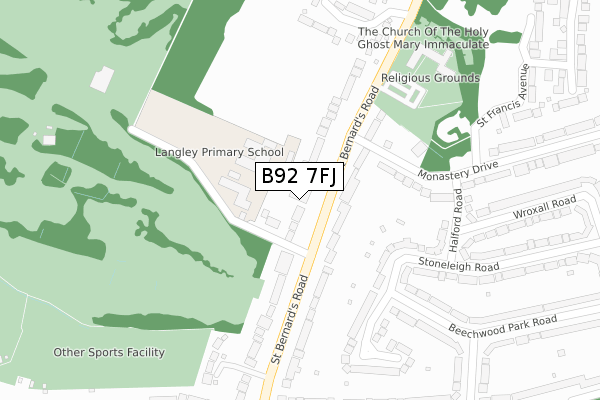
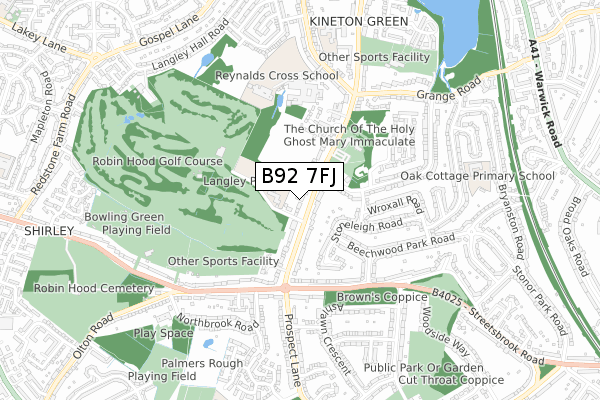
B92 7FJ is located in the Olton electoral ward, within the metropolitan district of Solihull and the English Parliamentary constituency of Solihull. The Sub Integrated Care Board (ICB) Location is NHS Birmingham and Solihull ICB - 15E and the police force is West Midlands. This postcode has been in use since September 2019.


GetTheData
Source: OS Open Zoomstack (Ordnance Survey)
Licence: Open Government Licence (requires attribution)
Attribution: Contains OS data © Crown copyright and database right 2025
Source: Open Postcode Geo
Licence: Open Government Licence (requires attribution)
Attribution: Contains OS data © Crown copyright and database right 2025; Contains Royal Mail data © Royal Mail copyright and database right 2025; Source: Office for National Statistics licensed under the Open Government Licence v.3.0
| Easting | 412823 |
| Northing | 280688 |
| Latitude | 52.424046 |
| Longitude | -1.812852 |
GetTheData
Source: Open Postcode Geo
Licence: Open Government Licence
| Country | England |
| Postcode District | B92 |
➜ See where B92 is on a map ➜ Where is Solihull? | |
GetTheData
Source: Land Registry Price Paid Data
Licence: Open Government Licence
| Ward | Olton |
| Constituency | Solihull |
GetTheData
Source: ONS Postcode Database
Licence: Open Government Licence
| Langley Jun & Inf School (St Bernards Rd) | Kineton Green | 51m |
| Langley Jun & Inf School (St Bernards Rd) | Kineton Green | 134m |
| Monastery Drive (St Bernards Rd) | Kineton Green | 226m |
| Monastery Drive (St Bernards Rd) | Kineton Green | 257m |
| Streetsbrook Rd (St Bernards Rd) | Sharmans Cross | 305m |
| Olton Station | 1.7km |
| Solihull Station | 2km |
| Hall Green Station | 2.7km |
GetTheData
Source: NaPTAN
Licence: Open Government Licence
GetTheData
Source: ONS Postcode Database
Licence: Open Government Licence


➜ Get more ratings from the Food Standards Agency
GetTheData
Source: Food Standards Agency
Licence: FSA terms & conditions
| Last Collection | |||
|---|---|---|---|
| Location | Mon-Fri | Sat | Distance |
| Grange Road / St Bernards Road | 17:30 | 12:00 | 520m |
| Prospect Lane / Streebrook Road | 17:30 | 12:00 | 539m |
| Hasley Road / Beechwood Park Road | 17:15 | 12:00 | 544m |
GetTheData
Source: Dracos
Licence: Creative Commons Attribution-ShareAlike
The below table lists the International Territorial Level (ITL) codes (formerly Nomenclature of Territorial Units for Statistics (NUTS) codes) and Local Administrative Units (LAU) codes for B92 7FJ:
| ITL 1 Code | Name |
|---|---|
| TLG | West Midlands (England) |
| ITL 2 Code | Name |
| TLG3 | West Midlands |
| ITL 3 Code | Name |
| TLG32 | Solihull |
| LAU 1 Code | Name |
| E08000029 | Solihull |
GetTheData
Source: ONS Postcode Directory
Licence: Open Government Licence
The below table lists the Census Output Area (OA), Lower Layer Super Output Area (LSOA), and Middle Layer Super Output Area (MSOA) for B92 7FJ:
| Code | Name | |
|---|---|---|
| OA | E00051439 | |
| LSOA | E01010176 | Solihull 014C |
| MSOA | E02002094 | Solihull 014 |
GetTheData
Source: ONS Postcode Directory
Licence: Open Government Licence
| B92 7BJ | St Bernards Road | 73m |
| B92 7DJ | St Bernards Road | 107m |
| B91 1DN | Monastery Drive | 187m |
| B92 7DL | St Bernards Road | 218m |
| B92 7BH | St Bernards Road | 221m |
| B91 1DQ | Stoneleigh Road | 229m |
| B91 1DL | Halford Road | 243m |
| B91 1DJ | Stoneleigh Road | 266m |
| B92 7DH | St Bernards Road | 276m |
| B91 1EU | Beechwood Park Road | 286m |
GetTheData
Source: Open Postcode Geo; Land Registry Price Paid Data
Licence: Open Government Licence