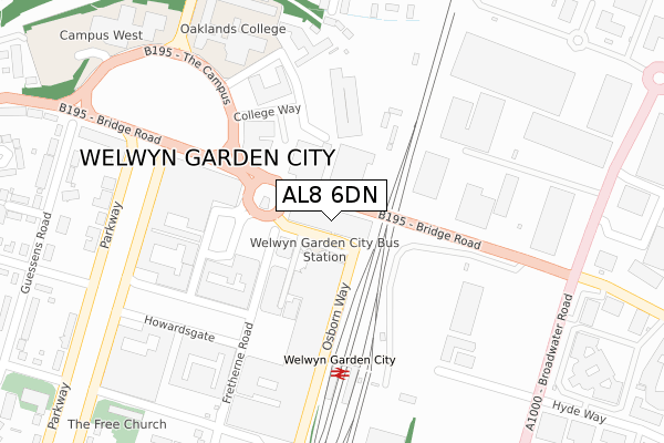
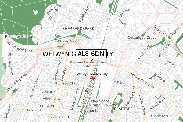
AL8 6DN is located in the Handside electoral ward, within the local authority district of Welwyn Hatfield and the English Parliamentary constituency of Welwyn Hatfield. The Sub Integrated Care Board (ICB) Location is NHS Hertfordshire and West Essex ICB - 06K and the police force is Hertfordshire. This postcode has been in use since October 2018.


GetTheData
Source: OS Open Zoomstack (Ordnance Survey)
Licence: Open Government Licence (requires attribution)
Attribution: Contains OS data © Crown copyright and database right 2025
Source: Open Postcode Geo
Licence: Open Government Licence (requires attribution)
Attribution: Contains OS data © Crown copyright and database right 2025; Contains Royal Mail data © Royal Mail copyright and database right 2025; Source: Office for National Statistics licensed under the Open Government Licence v.3.0
| Easting | 523945 |
| Northing | 213108 |
| Latitude | 51.802893 |
| Longitude | -0.203799 |
GetTheData
Source: Open Postcode Geo
Licence: Open Government Licence
| Country | England |
| Postcode District | AL8 |
➜ See where AL8 is on a map ➜ Where is Welwyn Garden City? | |
GetTheData
Source: Land Registry Price Paid Data
Licence: Open Government Licence
| Ward | Handside |
| Constituency | Welwyn Hatfield |
GetTheData
Source: ONS Postcode Database
Licence: Open Government Licence
| Waitrose (Bridge Road) | Welwyn Garden City | 43m |
| John Lewis (Bridge Road) | Welwyn Garden City | 196m |
| Broadwater Road (Bridge Road) | Welwyn Garden City | 273m |
| Broadwater Road (Bridge Road) | Welwyn Garden City | 278m |
| Campus East (The Campus) | Welwyn Garden City | 282m |
| Welwyn Garden City Station | 0.2km |
| Welwyn North Station | 2.4km |
| Hatfield (Herts) Station | 4.4km |
GetTheData
Source: NaPTAN
Licence: Open Government Licence
GetTheData
Source: ONS Postcode Database
Licence: Open Government Licence


➜ Get more ratings from the Food Standards Agency
GetTheData
Source: Food Standards Agency
Licence: FSA terms & conditions
| Last Collection | |||
|---|---|---|---|
| Location | Mon-Fri | Sat | Distance |
| Howard Centre | 18:25 | 12:00 | 68m |
| Howardsgate Branch Office | 18:25 | 12:00 | 261m |
| Hyde Way | 17:30 | 12:00 | 389m |
GetTheData
Source: Dracos
Licence: Creative Commons Attribution-ShareAlike
The below table lists the International Territorial Level (ITL) codes (formerly Nomenclature of Territorial Units for Statistics (NUTS) codes) and Local Administrative Units (LAU) codes for AL8 6DN:
| ITL 1 Code | Name |
|---|---|
| TLH | East |
| ITL 2 Code | Name |
| TLH2 | Bedfordshire and Hertfordshire |
| ITL 3 Code | Name |
| TLH23 | Hertfordshire CC |
| LAU 1 Code | Name |
| E07000241 | Welwyn Hatfield |
GetTheData
Source: ONS Postcode Directory
Licence: Open Government Licence
The below table lists the Census Output Area (OA), Lower Layer Super Output Area (LSOA), and Middle Layer Super Output Area (MSOA) for AL8 6DN:
| Code | Name | |
|---|---|---|
| OA | E00121437 | |
| LSOA | E01023918 | Welwyn Hatfield 006C |
| MSOA | E02004985 | Welwyn Hatfield 006 |
GetTheData
Source: ONS Postcode Directory
Licence: Open Government Licence
| AL8 6BB | Howardsgate | 156m |
| AL8 6PD | Stonehills | 170m |
| AL8 6HA | The Howard Centre | 194m |
| AL8 6PG | Wigmores North | 200m |
| AL8 6PH | Wigmores North | 222m |
| AL8 6DG | College Way | 237m |
| AL8 6BP | Howardsgate | 244m |
| AL8 6PA | Howardsgate | 257m |
| AL8 6PB | Howardsgate | 257m |
| AL8 6JL | Parkway | 261m |
GetTheData
Source: Open Postcode Geo; Land Registry Price Paid Data
Licence: Open Government Licence