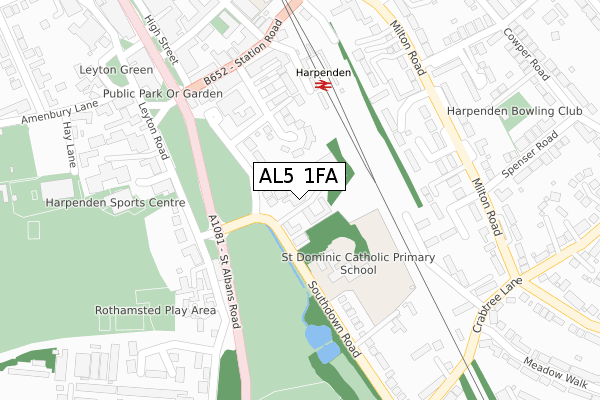
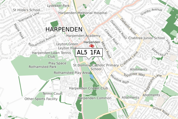
AL5 1FA is located in the Harpenden West electoral ward, within the local authority district of St Albans and the English Parliamentary constituency of Hitchin and Harpenden. The Sub Integrated Care Board (ICB) Location is NHS Hertfordshire and West Essex ICB - 06N and the police force is Hertfordshire. This postcode has been in use since January 2019.


GetTheData
Source: OS Open Zoomstack (Ordnance Survey)
Licence: Open Government Licence (requires attribution)
Attribution: Contains OS data © Crown copyright and database right 2025
Source: Open Postcode Geo
Licence: Open Government Licence (requires attribution)
Attribution: Contains OS data © Crown copyright and database right 2025; Contains Royal Mail data © Royal Mail copyright and database right 2025; Source: Office for National Statistics licensed under the Open Government Licence v.3.0
| Easting | 513737 |
| Northing | 214005 |
| Latitude | 51.813122 |
| Longitude | -0.351483 |
GetTheData
Source: Open Postcode Geo
Licence: Open Government Licence
| Country | England |
| Postcode District | AL5 |
➜ See where AL5 is on a map ➜ Where is Harpenden? | |
GetTheData
Source: Land Registry Price Paid Data
Licence: Open Government Licence
| Ward | Harpenden West |
| Constituency | Hitchin And Harpenden |
GetTheData
Source: ONS Postcode Database
Licence: Open Government Licence
| Harpenden House Hotel (Southdown Road) | Harpenden | 129m |
| Harpenden House Hotel (Southdown Road) | Harpenden | 158m |
| The Cedars (Milton Road) | Harpenden | 234m |
| Harpenden Railway Station (Station Road) | Harpenden | 244m |
| Harpenden Railway Station (Station Road) | Harpenden | 249m |
| Harpenden Station | 0.2km |
GetTheData
Source: NaPTAN
Licence: Open Government Licence
| Percentage of properties with Next Generation Access | 100.0% |
| Percentage of properties with Superfast Broadband | 100.0% |
| Percentage of properties with Ultrafast Broadband | 100.0% |
| Percentage of properties with Full Fibre Broadband | 100.0% |
Superfast Broadband is between 30Mbps and 300Mbps
Ultrafast Broadband is > 300Mbps
| Percentage of properties unable to receive 2Mbps | 0.0% |
| Percentage of properties unable to receive 5Mbps | 0.0% |
| Percentage of properties unable to receive 10Mbps | 0.0% |
| Percentage of properties unable to receive 30Mbps | 0.0% |
GetTheData
Source: Ofcom
Licence: Ofcom Terms of Use (requires attribution)
GetTheData
Source: ONS Postcode Database
Licence: Open Government Licence


➜ Get more ratings from the Food Standards Agency
GetTheData
Source: Food Standards Agency
Licence: FSA terms & conditions
| Last Collection | |||
|---|---|---|---|
| Location | Mon-Fri | Sat | Distance |
| Harpenden Post Office | 18:45 | 12:30 | 234m |
| Coach Lane | 17:45 | 12:00 | 309m |
| Shakespeareroad | 17:45 | 12:00 | 386m |
GetTheData
Source: Dracos
Licence: Creative Commons Attribution-ShareAlike
The below table lists the International Territorial Level (ITL) codes (formerly Nomenclature of Territorial Units for Statistics (NUTS) codes) and Local Administrative Units (LAU) codes for AL5 1FA:
| ITL 1 Code | Name |
|---|---|
| TLH | East |
| ITL 2 Code | Name |
| TLH2 | Bedfordshire and Hertfordshire |
| ITL 3 Code | Name |
| TLH23 | Hertfordshire CC |
| LAU 1 Code | Name |
| E07000240 | St Albans |
GetTheData
Source: ONS Postcode Directory
Licence: Open Government Licence
The below table lists the Census Output Area (OA), Lower Layer Super Output Area (LSOA), and Middle Layer Super Output Area (MSOA) for AL5 1FA:
| Code | Name | |
|---|---|---|
| OA | E00120346 | |
| LSOA | E01023701 | St Albans 003C |
| MSOA | E02004926 | St Albans 003 |
GetTheData
Source: ONS Postcode Directory
Licence: Open Government Licence
| AL5 1PD | Southdown Road | 101m |
| AL5 4SJ | Arden Grove | 160m |
| AL5 5LQ | The Cedars | 186m |
| AL5 5LH | Milton Road | 189m |
| AL5 5LN | Milton Road | 191m |
| AL5 5NZ | Milton Road | 195m |
| AL5 5LW | Copper Beeches | 199m |
| AL5 5LR | Linden Court | 201m |
| AL5 5LL | Milton Road | 202m |
| AL5 5PD | Milton Road | 206m |
GetTheData
Source: Open Postcode Geo; Land Registry Price Paid Data
Licence: Open Government Licence