AL1 5GG maps, stats, and open data
AL1 5GG is located in the Clarence electoral ward, within the local authority district of St Albans and the English Parliamentary constituency of St Albans. The Sub Integrated Care Board (ICB) Location is NHS Hertfordshire and West Essex ICB - 06N and the police force is Hertfordshire. This postcode has been in use since December 2018.
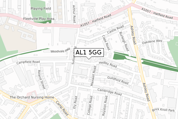
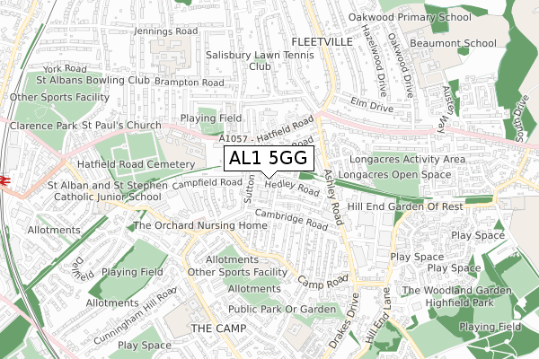
AL1 5GG maps


Licence: Open Government Licence (requires attribution)
Attribution: Contains OS data © Crown copyright and database right 2025
Source: Open Postcode Geo
Licence: Open Government Licence (requires attribution)
Attribution: Contains OS data © Crown copyright and database right 2025; Contains Royal Mail data © Royal Mail copyright and database right 2025; Source: Office for National Statistics licensed under the Open Government Licence v.3.0
AL1 5GG geodata
| Easting | 516785 |
| Northing | 207077 |
| Latitude | 51.750230 |
| Longitude | -0.309618 |
Where is AL1 5GG?
| Country | England |
| Postcode District | AL1 |
Politics
| Ward | Clarence |
|---|---|
| Constituency | St Albans |
Transport
Nearest bus stops to AL1 5GG
| Morrisons (Hatfield Road) | Fleetville | 205m |
| Oakdene Way (Ashley Road) | Fleetville | 276m |
| Oakdene Way (Ashley Road) | Fleetville | 290m |
| Roland Street | Cell Barnes | 301m |
| Ashley Road (Hatfield Road) | Fleetville | 309m |
Nearest railway stations to AL1 5GG
| St Albans City Station | 1.2km |
| St Albans Abbey Station | 2.4km |
| Park Street Station | 3.5km |
Broadband
Broadband access in AL1 5GG (2020 data)
| Percentage of properties with Next Generation Access | 100.0% |
| Percentage of properties with Superfast Broadband | 100.0% |
| Percentage of properties with Ultrafast Broadband | 100.0% |
| Percentage of properties with Full Fibre Broadband | 100.0% |
Superfast Broadband is between 30Mbps and 300Mbps
Ultrafast Broadband is > 300Mbps
Broadband speed in AL1 5GG (2019 data)
Download
Ofcom does not currently provide download speed data for AL1 5GG. This is because there are less than four broadband connections in this postcode.
Upload
Ofcom does not currently provide upload speed data for AL1 5GG. This is because there are less than four broadband connections in this postcode.
Broadband limitations in AL1 5GG (2020 data)
| Percentage of properties unable to receive 2Mbps | 0.0% |
| Percentage of properties unable to receive 5Mbps | 0.0% |
| Percentage of properties unable to receive 10Mbps | 0.0% |
| Percentage of properties unable to receive 30Mbps | 0.0% |
Deprivation
9.7% of English postcodes are less deprived than AL1 5GG:Food Standards Agency
Three nearest food hygiene ratings to AL1 5GG (metres)


➜ Get more ratings from the Food Standards Agency
Nearest post box to AL1 5GG
| Last Collection | |||
|---|---|---|---|
| Location | Mon-Fri | Sat | Distance |
| Cambridge Road | 17:30 | 12:00 | 169m |
| Fleetville P.o | 18:30 | 12:00 | 256m |
| Ashley Road Hedley Road | 17:30 | 12:00 | 302m |
AL1 5GG ITL and AL1 5GG LAU
The below table lists the International Territorial Level (ITL) codes (formerly Nomenclature of Territorial Units for Statistics (NUTS) codes) and Local Administrative Units (LAU) codes for AL1 5GG:
| ITL 1 Code | Name |
|---|---|
| TLH | East |
| ITL 2 Code | Name |
| TLH2 | Bedfordshire and Hertfordshire |
| ITL 3 Code | Name |
| TLH23 | Hertfordshire CC |
| LAU 1 Code | Name |
| E07000240 | St Albans |
AL1 5GG census areas
The below table lists the Census Output Area (OA), Lower Layer Super Output Area (LSOA), and Middle Layer Super Output Area (MSOA) for AL1 5GG:
| Code | Name | |
|---|---|---|
| OA | E00120188 | |
| LSOA | E01023665 | St Albans 013B |
| MSOA | E02004936 | St Albans 013 |
Nearest postcodes to AL1 5GG
| AL1 5JW | Hedley Road | 39m |
| AL1 5FZ | Hedley Road | 45m |
| AL1 5LA | Maxwell Road | 76m |
| AL1 5JH | Pickford Road | 79m |
| AL1 5LB | Maxwell Road | 82m |
| AL1 5JZ | Maxwell Road | 94m |
| AL1 5DL | Castle Road | 100m |
| AL1 5RU | Hedley Villas | 101m |
| AL1 5JE | Sutton Road | 103m |
| AL1 5GY | Guildford Road | 112m |