Where is Old Hunstanton?
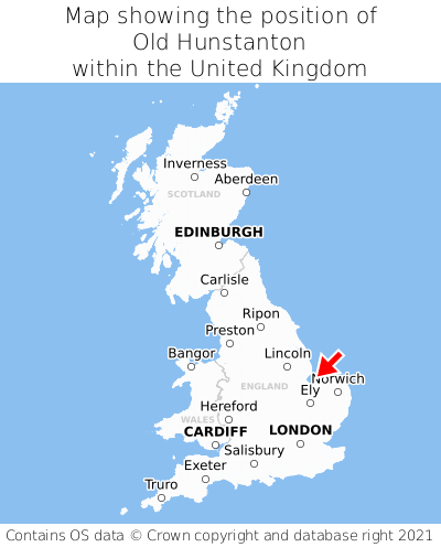
Old Hunstanton is located in the county of Norfolk, Eastern England, one mile north-east of the town of Hunstanton, 40 miles north-west of the major city of Norwich, and 103 miles north of London. Old Hunstanton falls within the district council of King's Lynn and West Norfolk, under the county council of Norfolk. It is in the PE36 postcode district. The post town for Old Hunstanton is Hunstanton.
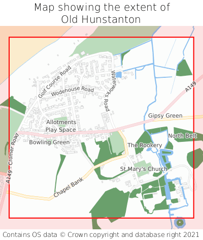
Old Hunstanton on a map


Which county is Old Hunstanton in?
Old Hunstanton is in the ceremonial county of Norfolk, the historic county of Norfolk, and the administrative county of Norfolk.
| Ceremonial County | Norfolk |
|---|---|
| Historic County | Norfolk |
| Administrative County | Norfolk |
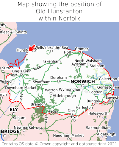
Where is Old Hunstanton in Norfolk?
Old Hunstanton is situated towards the northernmost extremity of Norfolk, and towards the westernmost extremity of Norfolk.

What is the postcode for Old Hunstanton?
The nearest postcode to the centre of Old Hunstanton is PE36 6JJ.
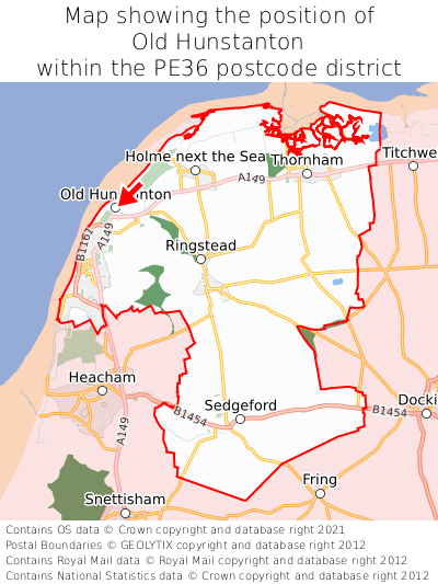
Where is Old Hunstanton in PE36?
Old Hunstanton is situated towards the northernmost extremity of the PE36 postcode district, and towards the westernmost extremity of the PE36 postcode district.

What is the post town for Old Hunstanton?
The post town for Old Hunstanton is Hunstanton. Old Hunstanton is in the PE36 postcode district, which corresponds to the post town of Hunstanton.
What is the latitude and longitude of Old Hunstanton?
The centre of Old Hunstanton is located at position 52.9531° latitude and 0.50275° longitude.
| Latitude | 52.9531° |
|---|---|
| Longitude | 0.50275° |
What is the easting and northing of Old Hunstanton?
The centre of Old Hunstanton is located at the grid reference easting 568230 and northing 342456 within the British National Grid (OSGB36) system.
| Easting | 568230 |
|---|---|
| Northing | 342456 |
What are the nearest towns to Old Hunstanton?
Position of Old Hunstanton relative to nearby towns. Distance is measured from the centre of Old Hunstanton to the centre of the town.
What are the nearest cities to Old Hunstanton?
Position of Old Hunstanton relative to nearby cities. Distance is measured from the centre of Old Hunstanton to the centre of the city.