Where is Murton?
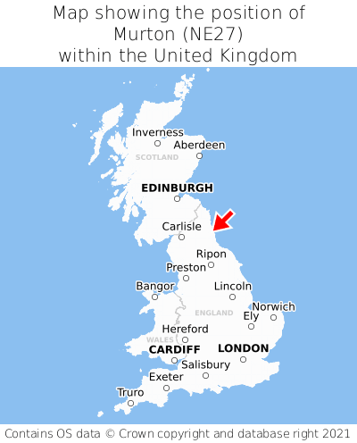
Murton is located in the county of Tyne & Wear, North East England, two miles south-west of the town of Whitley Bay, three miles north-west of the major town of South Shields, 92 miles south-east of Edinburgh, and 249 miles north of London. Murton lies roughly one mile south-east of the Northumberland border, and was historically in the county of Northumberland. Murton falls within the metropolitan district council of North Tyneside. It is in the NE27 postcode district. The post town for Murton is Newcastle upon Tyne.
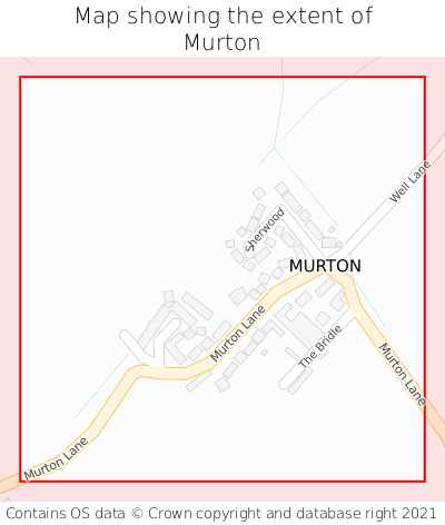
Murton on a map


Which county is Murton in?
Murton is in the ceremonial county of Tyne & Wear, and the historic county of Northumberland.
| Ceremonial County | Tyne & Wear |
|---|---|
| Historic County | Northumberland |
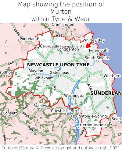
Where is Murton in Tyne & Wear?
Murton is situated towards the northernmost extremity of Tyne & Wear, and towards the easternmost extremity of Tyne & Wear.

What is the postcode for Murton?
The nearest postcode to the centre of Murton is NE27 0QD.
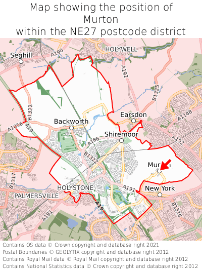
Where is Murton in NE27?
Murton is situated towards the southernmost extremity of the NE27 postcode district, and towards the easternmost extremity of the NE27 postcode district.

What is the post town for Murton?
The post town for Murton is Newcastle upon Tyne. Murton is in the NE27 postcode district, which corresponds to the post town of Newcastle upon Tyne.
What is the latitude and longitude of Murton?
The centre of Murton is located at position 55.03145° latitude and -1.48639° longitude.
| Latitude | 55.03145° |
|---|---|
| Longitude | -1.48639° |
What is the easting and northing of Murton?
The centre of Murton is located at the grid reference easting 432928 and northing 570889 within the British National Grid (OSGB36) system.
| Easting | 432928 |
|---|---|
| Northing | 570889 |
What are the nearest towns to Murton?
Position of Murton relative to nearby towns. Distance is measured from the centre of Murton to the centre of the town.
What are the nearest cities to Murton?
Position of Murton relative to nearby cities. Distance is measured from the centre of Murton to the centre of the city.