Where is Marhamchurch?
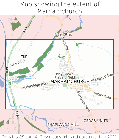
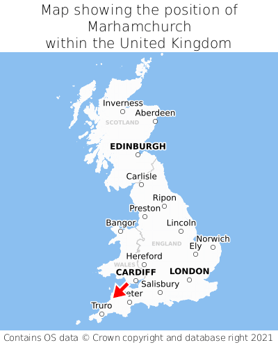
Marhamchurch is located in the county of Cornwall, South West England, two miles south of the town of Stratton, 34 miles north-west of the major city of Plymouth, 75 miles south-west of Cardiff, and 197 miles west of London. Marhamchurch lies two miles west of the Devon border. Marhamchurch falls within the unitary authority of Cornwall. It is in the EX23 postcode district. The post town for Marhamchurch is Bude.
Marhamchurch on a map


Which county is Marhamchurch in?
Marhamchurch is in the ceremonial county of Cornwall, the historic county of Cornwall, and the administrative county of Cornwall.
| Ceremonial County | Cornwall |
|---|---|
| Historic County | Cornwall |
| Administrative County | Cornwall |
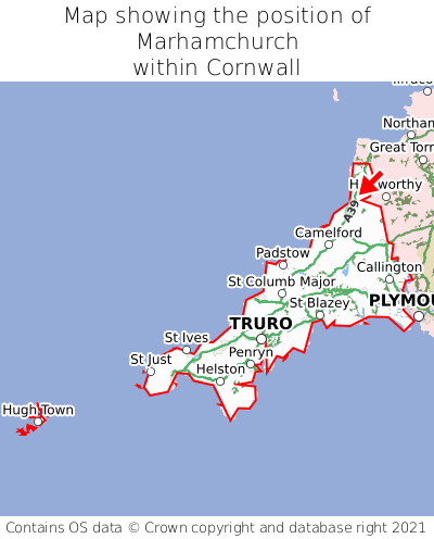
Where is Marhamchurch in Cornwall?
Marhamchurch is situated towards the northernmost extremity of Cornwall, and towards the easternmost extremity of Cornwall.

What is the postcode for Marhamchurch?
The nearest postcode to the centre of Marhamchurch is EX23 0EP.
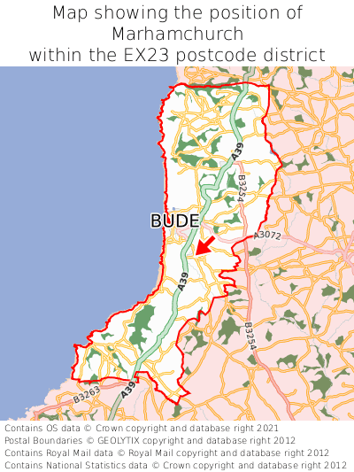
Where is Marhamchurch in EX23?
Marhamchurch is situated roughly centrally between the southernmost and northernmost extremities of the EX23 postcode district, and roughly centrally between the easternmost and westernmost extremities of the EX23 postcode district.

What is the post town for Marhamchurch?
The post town for Marhamchurch is Bude. Marhamchurch is in the EX23 postcode district, which corresponds to the post town of Bude.
What is the latitude and longitude of Marhamchurch?
The centre of Marhamchurch is located at position 50.80555° latitude and -4.52213° longitude.
| Latitude | 50.80555° |
|---|---|
| Longitude | -4.52213° |
What is the easting and northing of Marhamchurch?
The centre of Marhamchurch is located at the grid reference easting 222387 and northing 103699 within the British National Grid (OSGB36) system.
| Easting | 222387 |
|---|---|
| Northing | 103699 |
What are the nearest towns to Marhamchurch?
Position of Marhamchurch relative to nearby towns. Distance is measured from the centre of Marhamchurch to the centre of the town.
What are the nearest cities to Marhamchurch?
Position of Marhamchurch relative to nearby cities. Distance is measured from the centre of Marhamchurch to the centre of the city.