Where is Langton Matravers?
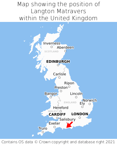
Langton Matravers is located in the county of Dorset, South West England, two miles west of the town of Swanage, eight miles south of the major town of Poole, 79 miles south-east of Cardiff, and 103 miles south-west of London. Langton Matravers falls within the unitary authority of Dorset. It is in the BH19 postcode district. The post town for Langton Matravers is Swanage.
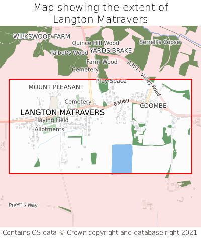
Langton Matravers on a map


Which county is Langton Matravers in?
Langton Matravers is in the ceremonial county of Dorset, the historic county of Dorset, and the administrative county of Dorset.
| Ceremonial County | Dorset |
|---|---|
| Historic County | Dorset |
| Administrative County | Dorset |
Where is Langton Matravers in Dorset?
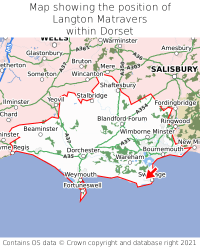
Langton Matravers is situated towards the southernmost extremity of Dorset, and towards the easternmost extremity of Dorset.

What is the postcode for Langton Matravers?
The nearest postcode to the centre of Langton Matravers is BH19 3HY.
Where is Langton Matravers in BH19?
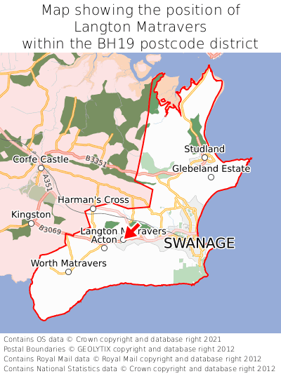
Langton Matravers is situated towards the southernmost extremity of the BH19 postcode district, and roughly centrally between the easternmost and westernmost extremities of the BH19 postcode district.

What is the post town for Langton Matravers?
The post town for Langton Matravers is Swanage. Langton Matravers is in the BH19 postcode district, which corresponds to the post town of Swanage.
What is the latitude and longitude of Langton Matravers?
The centre of Langton Matravers is located at position 50.6093° latitude and -2.00472° longitude.
| Latitude | 50.6093° |
|---|---|
| Longitude | -2.00472° |
What is the easting and northing of Langton Matravers?
The centre of Langton Matravers is located at the grid reference easting 399762 and northing 78842 within the British National Grid (OSGB36) system.
| Easting | 399762 |
|---|---|
| Northing | 78842 |
What are the nearest towns to Langton Matravers?
Position of Langton Matravers relative to nearby towns. Distance is measured from the centre of Langton Matravers to the centre of the town.
What are the nearest cities to Langton Matravers?
Position of Langton Matravers relative to nearby cities. Distance is measured from the centre of Langton Matravers to the centre of the city.