Where is Land Gate?
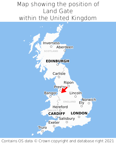
Land Gate is located in the county of Greater Manchester, North West England, one mile north of the town of Ashton-in-Makerfield, three miles south of the major town of Wigan, 142 miles north of Cardiff, 170 miles south of Edinburgh, and 174 miles north-west of London. Land Gate lies just east of the Merseyside border, and was historically in the county of Lancashire. Land Gate falls within the metropolitan district council of Wigan. It is in the WN4 postcode district. The post town for Land Gate is Wigan.
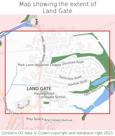
Land Gate on a map


Which county is Land Gate in?
Land Gate is in the ceremonial county of Greater Manchester, and the historic county of Lancashire.
| Ceremonial County | Greater Manchester |
|---|---|
| Historic County | Lancashire |
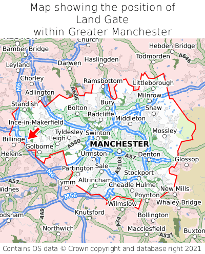
Where is Land Gate in Greater Manchester?
Land Gate is situated roughly centrally between the southernmost and northernmost extremities of Greater Manchester, and towards the westernmost extremity of Greater Manchester.

What is the postcode for Land Gate?
The nearest postcode to the centre of Land Gate is WN4 0BX.
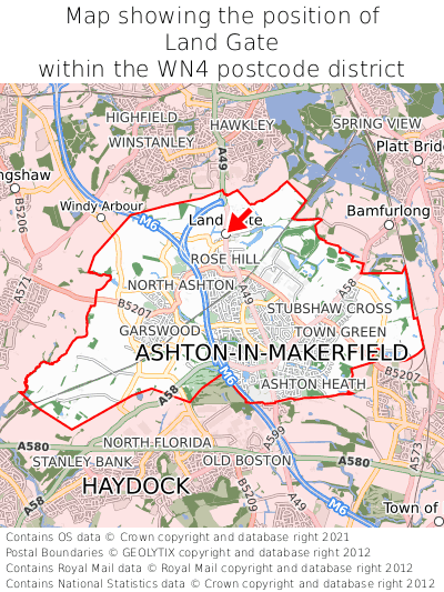
Where is Land Gate in WN4?
Land Gate is situated towards the northernmost extremity of the WN4 postcode district, and roughly centrally between the easternmost and westernmost extremities of the WN4 postcode district.

What is the post town for Land Gate?
The post town for Land Gate is Wigan. Land Gate is in the WN4 postcode district, which corresponds to the post town of Wigan.
What is the latitude and longitude of Land Gate?
The centre of Land Gate is located at position 53.50791° latitude and -2.65157° longitude.
| Latitude | 53.50791° |
|---|---|
| Longitude | -2.65157° |
What is the easting and northing of Land Gate?
The centre of Land Gate is located at the grid reference easting 356884 and northing 401445 within the British National Grid (OSGB36) system.
| Easting | 356884 |
|---|---|
| Northing | 401445 |
What are the nearest towns to Land Gate?
Position of Land Gate relative to nearby towns. Distance is measured from the centre of Land Gate to the centre of the town.
What are the nearest cities to Land Gate?
Position of Land Gate relative to nearby cities. Distance is measured from the centre of Land Gate to the centre of the city.