Where is Kintessack?
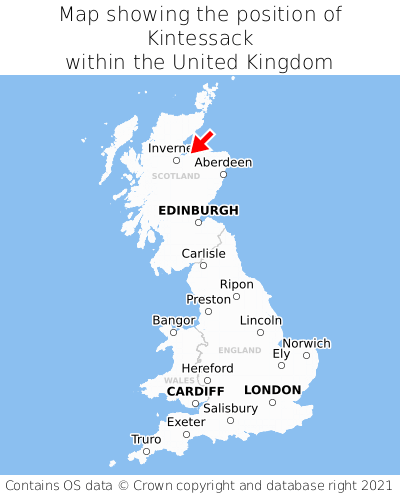
Kintessack is located in the county of Moray, Scotland, two miles north-west of the town of Forres, 67 miles north-west of the major city of Aberdeen, 117 miles north of Edinburgh, 425 miles north of Cardiff, and 445 miles north of London. Kintessack lies three miles north-east of the Nairn border, and was historically in the county of Nairn. Kintessack falls within the unitary authority of Moray. It is in the IV36 postcode district. The post town for Kintessack is Forres.
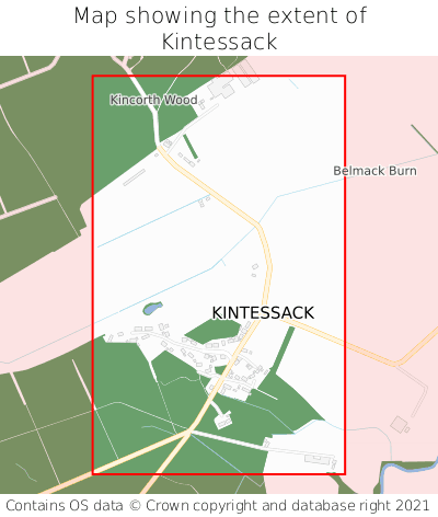
Kintessack on a map


Which county is Kintessack in?
Kintessack is in the ceremonial county of Moray, the historic county of Nairn, and the administrative county of Moray.
| Ceremonial County | Moray |
|---|---|
| Historic County | Nairn |
| Administrative County | Moray |
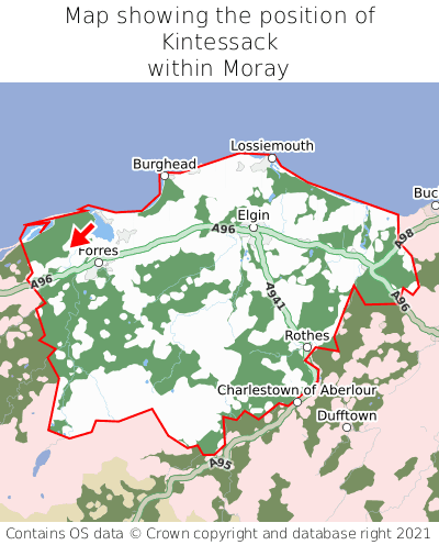
Where is Kintessack in Moray?
Kintessack is situated towards the northernmost extremity of Moray, and towards the westernmost extremity of Moray.

What is the postcode for Kintessack?
The nearest postcode to the centre of Kintessack is IV36 2TG.
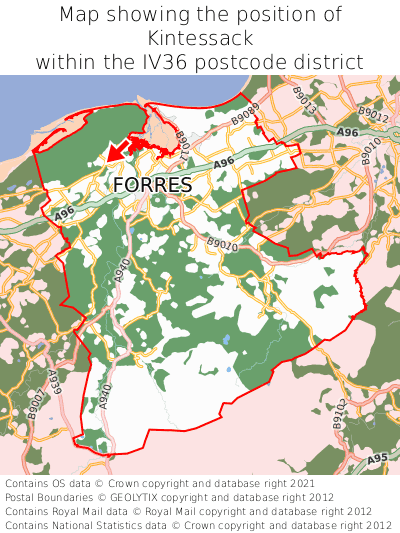
Where is Kintessack in IV36?
Kintessack is situated towards the northernmost extremity of the IV36 postcode district, and towards the westernmost extremity of the IV36 postcode district.

What is the post town for Kintessack?
The post town for Kintessack is Forres. Kintessack is in the IV36 postcode district, which corresponds to the post town of Forres.
What is the latitude and longitude of Kintessack?
The centre of Kintessack is located at position 57.62291° latitude and -3.6717° longitude.
| Latitude | 57.62291° |
|---|---|
| Longitude | -3.6717° |
What is the easting and northing of Kintessack?
The centre of Kintessack is located at the grid reference easting 300253 and northing 860446 within the British National Grid (OSGB36) system.
| Easting | 300253 |
|---|---|
| Northing | 860446 |
What are the nearest towns to Kintessack?
Position of Kintessack relative to nearby towns. Distance is measured from the centre of Kintessack to the centre of the town.
What are the nearest cities to Kintessack?
Position of Kintessack relative to nearby cities. Distance is measured from the centre of Kintessack to the centre of the city.