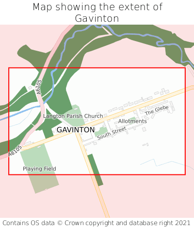
Where is Gavinton?
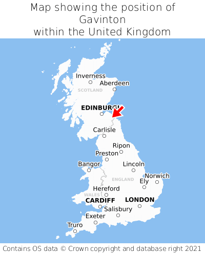
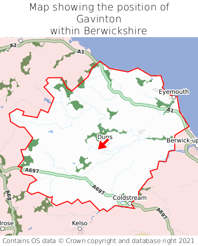
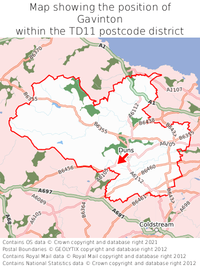
Gavinton is located in the county of Berwickshire, Scotland, two miles south-west of the town of Duns, 53 miles south-east of the major city of Dundee, 34 miles south-east of Edinburgh, 298 miles north of Cardiff, and 308 miles north of London. Gavinton lies eight miles north of the Northumberland border. Gavinton falls within the unitary authority of Scottish Borders. It is in the TD11 postcode district. The post town for Gavinton is Duns.
Gavinton on a map


Which county is Gavinton in?
Gavinton is in the ceremonial county of Berwickshire, the historic county of Berwickshire, and the administrative county of Scottish Borders.
| Ceremonial County | Berwickshire |
|---|---|
| Historic County | Berwickshire |
| Administrative County | Scottish Borders |
Where is Gavinton in Berwickshire?
Gavinton is situated roughly centrally between the southernmost and northernmost extremities of Berwickshire, and roughly centrally between the easternmost and westernmost extremities of Berwickshire.

What is the postcode for Gavinton?
The nearest postcode to the centre of Gavinton is TD11 3QP.
Where is Gavinton in TD11?
Gavinton is situated towards the southernmost extremity of the TD11 postcode district, and roughly centrally between the easternmost and westernmost extremities of the TD11 postcode district.

What is the post town for Gavinton?
The post town for Gavinton is Duns. Gavinton is in the TD11 postcode district, which corresponds to the post town of Duns.
What is the latitude and longitude of Gavinton?
The centre of Gavinton is located at position 55.7621° latitude and -2.37279° longitude.
| Latitude | 55.7621° |
|---|---|
| Longitude | -2.37279° |
What is the easting and northing of Gavinton?
The centre of Gavinton is located at the grid reference easting 376705 and northing 652146 within the British National Grid (OSGB36) system.
| Easting | 376705 |
|---|---|
| Northing | 652146 |
What are the nearest towns to Gavinton?
Position of Gavinton relative to nearby towns. Distance is measured from the centre of Gavinton to the centre of the town.
What are the nearest cities to Gavinton?
Position of Gavinton relative to nearby cities. Distance is measured from the centre of Gavinton to the centre of the city.