Where is Emmington?
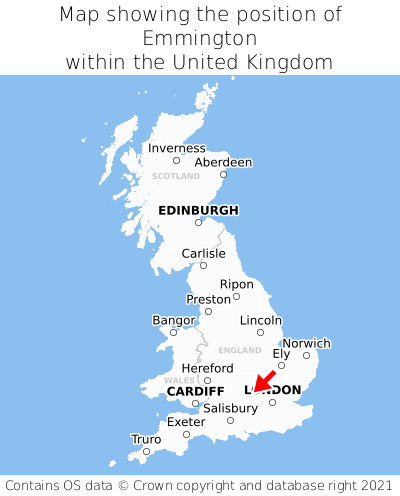
Emmington is located in the county of Oxfordshire, South East England, three miles south-east of the town of Thame, ten miles north-west of the major town of High Wycombe, and 37 miles west of London. Emmington lies two miles south-west of the Buckinghamshire border. Emmington falls within the district council of South Oxfordshire, under the county council of Oxfordshire. It is in the OX39 postcode district. The post town for Emmington is Chinnor.
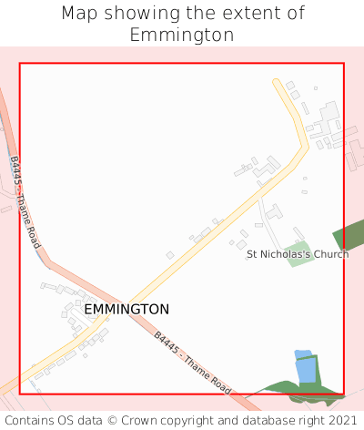
Emmington on a map


Which county is Emmington in?
Emmington is in the ceremonial county of Oxfordshire, the historic county of Oxfordshire, and the administrative county of Oxfordshire.
| Ceremonial County | Oxfordshire |
|---|---|
| Historic County | Oxfordshire |
| Administrative County | Oxfordshire |
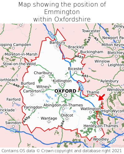
Where is Emmington in Oxfordshire?
Emmington is situated roughly centrally between the southernmost and northernmost extremities of Oxfordshire, and towards the easternmost extremity of Oxfordshire.

What is the postcode for Emmington?
The nearest postcode to the centre of Emmington is OX39 4LD.
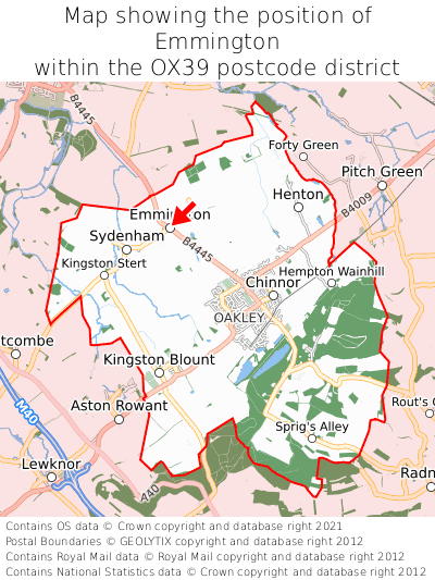
Where is Emmington in OX39?
Emmington is situated towards the northernmost extremity of the OX39 postcode district, and roughly centrally between the easternmost and westernmost extremities of the OX39 postcode district.

What is the post town for Emmington?
The post town for Emmington is Chinnor. Emmington is in the OX39 postcode district, which corresponds to the post town of Chinnor.
What is the latitude and longitude of Emmington?
The centre of Emmington is located at position 51.71411° latitude and -0.93278° longitude.
| Latitude | 51.71411° |
|---|---|
| Longitude | -0.93278° |
What is the easting and northing of Emmington?
The centre of Emmington is located at the grid reference easting 473829 and northing 202248 within the British National Grid (OSGB36) system.
| Easting | 473829 |
|---|---|
| Northing | 202248 |
What are the nearest towns to Emmington?
Position of Emmington relative to nearby towns. Distance is measured from the centre of Emmington to the centre of the town.
What are the nearest cities to Emmington?
Position of Emmington relative to nearby cities. Distance is measured from the centre of Emmington to the centre of the city.