Where is Blaenavon?
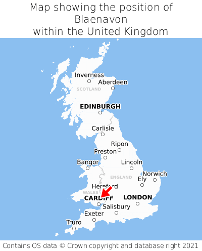
Blaenavon is located in the county of Gwent, Wales, three miles north of the town of Abersychan, 14 miles north of the major city of Newport, 21 miles north of Cardiff, and 128 miles west of London. Blaenavon lies four miles south of the Powys border, and was historically in the county of Monmouthshire. Blaenavon falls within the unitary authority of Torfaen - Torfaen. It is in the NP4 postcode district. The post town for Blaenavon is Pontypool.
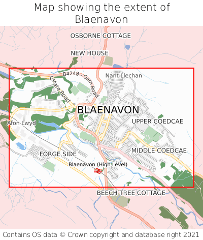
Blaenavon on a map


Which county is Blaenavon in?
Blaenavon is in the ceremonial county of Gwent, the historic county of Monmouthshire, and the administrative county of Torfaen - Torfaen.
| Ceremonial County | Gwent |
|---|---|
| Historic County | Monmouthshire |
| Administrative County | Torfaen - Torfaen |
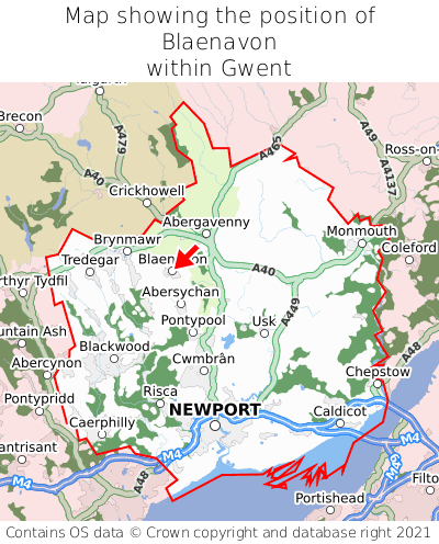
Where is Blaenavon in Gwent?
Blaenavon is situated roughly centrally between the southernmost and northernmost extremities of Gwent, and roughly centrally between the easternmost and westernmost extremities of Gwent.

What is the postcode for Blaenavon?
The nearest postcode to the centre of Blaenavon is NP4 9RB.
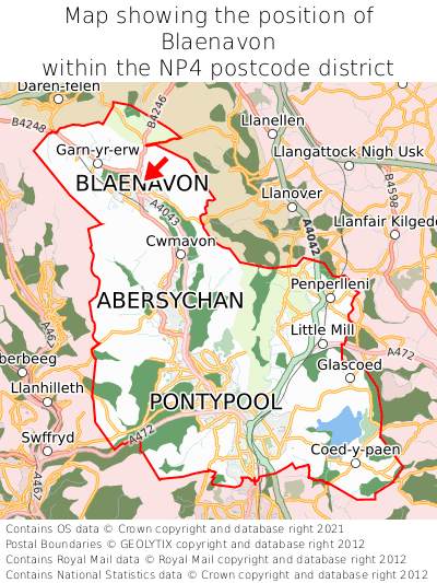
Where is Blaenavon in NP4?
Blaenavon is situated towards the northernmost extremity of the NP4 postcode district, and towards the westernmost extremity of the NP4 postcode district.

What is the post town for Blaenavon?
The post town for Blaenavon is Pontypool. Blaenavon is in the NP4 postcode district, which corresponds to the post town of Pontypool.
What is the latitude and longitude of Blaenavon?
The centre of Blaenavon is located at position 51.77577° latitude and -3.08377° longitude.
| Latitude | 51.77577° |
|---|---|
| Longitude | -3.08377° |
What is the easting and northing of Blaenavon?
The centre of Blaenavon is located at the grid reference easting 325323 and northing 209122 within the British National Grid (OSGB36) system.
| Easting | 325323 |
|---|---|
| Northing | 209122 |
What are the nearest towns to Blaenavon?
Position of Blaenavon relative to nearby towns. Distance is measured from the centre of Blaenavon to the centre of the town.
What are the nearest cities to Blaenavon?
Position of Blaenavon relative to nearby cities. Distance is measured from the centre of Blaenavon to the centre of the city.