West House School Playing Fields - Birmingham
West House School Playing Fields is located in Birmingham (B15), and offers Grass Pitches.
| Address | FLAT 2, ORMSBY COURT, 5, Richmond Hill Road, Birmingham, B15 3RJ |
| Management Type | School/College/University (in house) |
| Management Group | Education |
| Owner Type | Other Independent School |
| Owner Group | Education |
| Education Phase | Primary |
Facilities
| Accessibility | Sports Club / Community Association |
| Management Type | School/College/University (in house) |
| Changing Rooms | No |
| Date Record Created | 22nd Feb 2017 |
| Date Record Checked | 25th Aug 2022 |
| Opening Times | Dawn To Dusk |
Facility specifics
Disabled access
| Disabled Access | Yes |
| Finding/Reaching Entrance | Yes |
| Emergency Exits | Yes |
Contact
Disabled access
Disabled access for West House School Playing Fields
| Disabled Access | Yes |
| Finding/Reaching Entrance | Yes |
| Emergency Exits | Yes |
Where is West House School Playing Fields?
| Sub Building Name | FLAT 2 |
| Building Name | ORMSBY COURT |
| Building Number | 5 |
| Dependent Thoroughfare | |
| Thoroughfare Name | RICHMOND HILL ROAD |
| Double Dependent Locality | |
| Dependent Locality | |
| PostTown | BIRMINGHAM |
| Postcode | B15 3RJ |
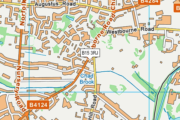
West House School Playing Fields on a map

West House School Playing Fields geodata
| Easting | 404577.09 |
| Northing | 285305.55 |
| Latitude | 52.465673 |
| Longitude | -1.934056 |
| Local Authority Name | Birmingham |
| Local Authority Code | E08000025 |
| Parliamentary Constituency Name | Birmingham, Edgbaston |
| Parliamentary Constituency Code | E14000560 |
| Region Name | West Midlands |
| Region Code | E15000005 |
| Ward Name | Edgbaston |
| Ward Code | E05011134 |
| Output Area Code | E00045628 |
About this data
This data is open data sourced from Active Places Power and licenced under the Active Places Open Data Licence.
| toid | osgb1000020186220 |
| Created On | 22nd Feb 2017 |
| Audited On | 25th Aug 2022 |
| Checked On | 25th Aug 2022 |
