Warninglid Primary School (Closed)
Warninglid Primary School (Closed) is located in Warninglid, Haywards Heath (RH17).
| Address | Slaugham Lane, Warninglid, Haywards Heath, RH17 5TJ |
| Management Type | School/College/University (in house) |
| Management Group | Education |
| Owner Type | Community school |
| Owner Group | Education |
| Education Phase | Primary |
| Closure Date | 31st Jul 2021 |
| Closure Reason | Strategic Review - facility/site to be replaced at another site |
Facilities
| Closure Date | 31st Jul 2021 |
| Closure Reason | Strategic Review - facility/site to be replaced at another site |
| Accessibility | Private Use |
| Management Type | School/College/University (in house) |
| Year Built | 1878 |
| Changing Rooms | No |
| Date Record Checked | 3rd Mar 2022 |
Opening times
| Access description | Private Use |
|---|
| Opening time | 09:00 |
| Closing time | 16:30 |
| Period open for | Monday-Friday |
Facility specifics
Disabled access
| Disabled Access | Yes |
| Activity Areas | Yes |
| Emergency Exits | Yes |
| Notes | The school is a very old building, therefore access is difficult for wheelchair users. A car parking space can be reserved for disabled use if needed. |
Contact
Disabled access
Disabled access for Warninglid Primary School (Closed)
| Disabled Access | Yes |
| Activity Areas | Yes |
| Emergency Exits | Yes |
| Notes | The school is a very old building, therefore access is difficult for wheelchair users. A car parking space can be reserved for disabled use if needed. |
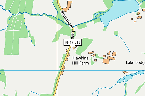
Where is Warninglid Primary School (Closed)?
| Sub Building Name | |
| Building Name | |
| Building Number | 0 |
| Dependent Thoroughfare | |
| Thoroughfare Name | SLAUGHAM LANE |
| Double Dependent Locality | |
| Dependent Locality | WARNINGLID |
| PostTown | HAYWARDS HEATH |
| Postcode | RH17 5TJ |
Warninglid Primary School (Closed) on a map

Warninglid Primary School (Closed) geodata
| Easting | 525053.42 |
| Northing | 126996.65 |
| Latitude | 51.028742 |
| Longitude | -0.218106 |
| Local Authority Name | Mid Sussex |
| Local Authority Code | E07000228 |
| Parliamentary Constituency Name | Mid Sussex |
| Parliamentary Constituency Code | E14000817 |
| Region Name | South East |
| Region Code | E15000008 |
| Ward Name | Bolney |
| Ward Code | E05007670 |
| Output Area Code | E00161637 |
About this data
This data is open data sourced from Active Places Power and licenced under the Active Places Open Data Licence.
| toid | osgb1000004092569 |
| Created On | 14th Oct 2006 |
| Audited On | 19th Jan 2021 |
| Checked On | 3rd Mar 2022 |
