The Manchester College - Wythenshawe Campus (Closed)
The Manchester College - Wythenshawe Campus (Closed) is located in Manchester (M22).
| Address | Brownley Road, Manchester, M22 9UE |
| Car Park | Yes |
| Car Park Capacity | 30 |
| Management Type | School/College/University (in house) |
| Management Group | Education |
| Owner Type | Further Education |
| Owner Group | Education |
| Education Phase | 16 plus |
| Start Date | 1st Sep 2010 |
| Closure Date | 22nd Dec 2015 |
| Closure Reason | Strategic Review - facility/site not being replaced |
Facilities
| Closure Date | 22nd Dec 2015 |
| Closure Reason | Strategic Review - facility/site not being replaced |
| Accessibility | Private Use |
| Management Type | School/College/University (in house) |
| Year Built | 2011 |
| Changing Rooms | Yes |
| Date Record Checked | 22nd Dec 2015 |
Opening times
| Access description | Private Use |
|---|
| Opening time | 09:00 |
| Closing time | 17:00 |
| Period open for | Monday-Friday |
Facility specifics
Disabled access
| Disabled Access | Yes |
| Disabled Parking | Yes |
| Finding/Reaching Entrance | Yes |
| Reception Area | Yes |
| Doorways | Yes |
| Disabled Changing Facilities | Yes |
| Activity Areas | Yes |
| Disabled Toilets | Yes |
| Emergency Exits | Yes |
Contact
Disabled access
Disabled access for The Manchester College - Wythenshawe Campus (Closed)
| Disabled Access | Yes |
| Disabled Parking | Yes |
| Finding/Reaching Entrance | Yes |
| Reception Area | Yes |
| Doorways | Yes |
| Disabled Changing Facilities | Yes |
| Activity Areas | Yes |
| Disabled Toilets | Yes |
| Emergency Exits | Yes |
Where is The Manchester College - Wythenshawe Campus (Closed)?
| Sub Building Name | |
| Building Name | |
| Building Number | 0 |
| Dependent Thoroughfare | |
| Thoroughfare Name | Brownley Road |
| Double Dependent Locality | |
| Dependent Locality | |
| PostTown | Manchester |
| Postcode | M22 9UE |
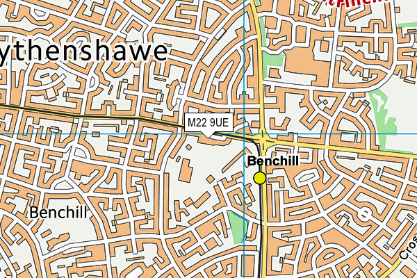
The Manchester College - Wythenshawe Campus (Closed) on a map

The Manchester College - Wythenshawe Campus (Closed) geodata
| Easting | 383016.47 |
| Northing | 387934.15 |
| Latitude | 53.387971 |
| Longitude | -2.256821 |
| Local Authority Name | Manchester |
| Local Authority Code | E08000003 |
| Parliamentary Constituency Name | Wythenshawe and Sale East |
| Parliamentary Constituency Code | E14001059 |
| Region Name | North West |
| Region Code | E15000002 |
| Ward Name | Sharston |
| Ward Code | E05011378 |
| Output Area Code | E00025725 |
About this data
This data is open data sourced from Active Places Power and licenced under the Active Places Open Data Licence.
| Created On | 21st Mar 2012 |
| Audited On | 26th Jan 2015 |
| Checked On | 8th Dec 2014 |
