The Kingsley School Playing Fields - Blackdown
The Kingsley School Playing Fields is located in Blackdown, Leamington Spa (CV32), and offers Outdoor Tennis Courts.
| Address | SPORTS GROUND, Sandy Lane, Blackdown, Leamington Spa, CV32 6RG |
| Management Type | School/College/University (in house) |
| Management Group | Education |
| Owner Type | Other Independent School |
| Owner Group | Education |
| Education Phase | All through |
Facilities
| Accessibility | Private Use |
| Management Type | School/College/University (in house) |
| Year Built | 2016 |
| Changing Rooms | Yes |
| Date Record Created | 24th Aug 2020 |
| Date Record Checked | 25th Oct 2022 |
| Opening Times | Dawn To Dusk |
Facility specifics
| Floodlit | No |
| Overmarked | Yes |
| Surface Type | Macadam |
| Accessibility | Private Use |
| Management Type | School/College/University (in house) |
| Changing Rooms | Yes |
| Date Record Created | 24th Aug 2020 |
| Date Record Checked | 25th Oct 2022 |
| Opening Times | Dawn To Dusk |
Facility specifics
| Accessibility | Private Use |
| Management Type | School/College/University (in house) |
| Changing Rooms | Yes |
| Date Record Created | 24th Aug 2020 |
| Date Record Checked | 25th Oct 2022 |
| Opening Times | Dawn To Dusk |
Facility specifics
| Accessibility | Private Use |
| Management Type | School/College/University (in house) |
| Changing Rooms | Yes |
| Date Record Created | 24th Aug 2020 |
| Date Record Checked | 25th Oct 2022 |
| Opening Times | Dawn To Dusk |
Facility specifics
Contact
Where is The Kingsley School Playing Fields?
| Sub Building Name | |
| Building Name | SPORTS GROUND |
| Building Number | 0 |
| Dependent Thoroughfare | |
| Thoroughfare Name | SANDY LANE |
| Double Dependent Locality | |
| Dependent Locality | BLACKDOWN |
| PostTown | LEAMINGTON SPA |
| Postcode | CV32 6RG |
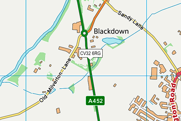
The Kingsley School Playing Fields on a map

The Kingsley School Playing Fields geodata
| Easting | 431670.18 |
| Northing | 268000.79 |
| Latitude | 52.309213 |
| Longitude | -1.536903 |
| Local Authority Name | Warwick |
| Local Authority Code | E07000222 |
| Parliamentary Constituency Name | Kenilworth and Southam |
| Parliamentary Constituency Code | E14000767 |
| Region Name | West Midlands |
| Region Code | E15000005 |
| Ward Name | Leamington Milverton |
| Ward Code | E05012624 |
| Output Area Code | E00159496 |
About this data
This data is open data sourced from Active Places Power and licenced under the Active Places Open Data Licence.
| toid | osgb1000000120460120 |
| Created On | 24th Aug 2020 |
| Audited On | 25th Oct 2022 |
| Checked On | 25th Oct 2022 |
