Saltersgill (Closed) - Middlesbrough
Saltersgill (Closed) is located in Middlesbrough (TS4).
| Address | Saltersgill Avenue, Middlesbrough, TS4 3LA |
| Car Park | Yes |
| Car Park Capacity | 50 |
| Management Type | Private Contractor (PPP/PFI) |
| Management Group | Others |
| Owner Type | Higher Education Institutions |
| Owner Group | Education |
| Education Phase | 16 plus |
| Closure Date | 1st Jan 1999 |
| Closure Reason | Unclassified |
Facilities
| Closure Date | 1st Jan 1999 |
| Closure Reason | Unclassified |
| Accessibility | Pay and Play |
| Management Type | Not Known |
| Changing Rooms | Yes |
| Date Record Checked | 12th May 2009 |
| Opening Times | Detailed Timings |
Facility specifics
| Closure Date | 1st Jan 1999 |
| Closure Reason | Unclassified |
| Accessibility | Free Public Access |
| Management Type | Not Known |
| Changing Rooms | Yes |
| Date Record Checked | 12th May 2009 |
| Opening Times | Detailed Timings |
Facility specifics
| Closure Date | 1st Jan 1999 |
| Closure Reason | Unclassified |
| Accessibility | Free Public Access |
| Management Type | Not Known |
| Changing Rooms | Yes |
| Date Record Checked | 12th May 2009 |
| Opening Times | Detailed Timings |
Facility specifics
| Closure Date | 1st Jan 1999 |
| Closure Reason | Unclassified |
| Accessibility | Free Public Access |
| Management Type | Not Known |
| Changing Rooms | Yes |
| Date Record Checked | 12th May 2009 |
| Opening Times | Detailed Timings |
Facility specifics
Contact
Disabled access
Disabled access for Saltersgill (Closed)
| Notes | Lift access is available to the first floor. |
Where is Saltersgill (Closed)?
| Sub Building Name | |
| Building Name | |
| Building Number | 0 |
| Dependent Thoroughfare | |
| Thoroughfare Name | Saltersgill Avenue |
| Double Dependent Locality | |
| Dependent Locality | |
| PostTown | Middlesbrough |
| Postcode | TS4 3LA |
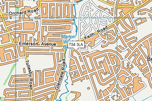
Saltersgill (Closed) on a map

Saltersgill (Closed) geodata
| Easting | 450100 |
| Northing | 516800 |
| Latitude | 54.543988 |
| Longitude | -1.227089 |
| Local Authority Name | Middlesbrough |
| Local Authority Code | E06000002 |
| Parliamentary Constituency Name | Middlesbrough |
| Parliamentary Constituency Code | E14000819 |
| Region Name | North East |
| Region Code | E15000001 |
| Ward Name | Longlands & Beechwood |
| Ward Code | E05009863 |
| Output Area Code | E00060624 |
About this data
This data is open data sourced from Active Places Power and licenced under the Active Places Open Data Licence.
| Created On | 26th Oct 2007 |
| Audited On | 26th Jan 2015 |
| Checked On | 12th May 2009 |
