Mytchett Recreation Ground
Mytchett Recreation Ground is located in Mytchett, Camberley (GU16), and offers Outdoor Tennis Courts, and Grass Pitches.
| Address | Minehurst Road, Mytchett, Camberley, GU16 6JP |
| Management Type | Local Authority (in house) |
| Management Group | Local Authority |
| Owner Type | Local Authority |
| Owner Group | Local Authority |
| Education Phase | Not applicable |
Facilities
| Accessibility | Pay and Play |
| Management Type | Local Authority (in house) |
| Year Built | 1990 |
| Changing Rooms | No |
| Date Record Checked | 17th May 2023 |
| Opening Times | Dawn To Dusk |
Facility specifics
| Floodlit | No |
| Overmarked | No |
| Surface Type | Macadam |
Disabled access
| Disabled Access | Yes |
| Activity Areas | Yes |
| Accessibility | Free Public Access |
| Management Type | Local Authority (in house) |
| Changing Rooms | No |
| Date Record Created | 2nd Nov 2017 |
| Date Record Checked | 17th May 2023 |
| Opening Times | Dawn To Dusk |
Facility specifics
Disabled access
| Disabled Access | Yes |
| Activity Areas | Yes |
Contact
Disabled access
Disabled access for Mytchett Recreation Ground
| Disabled Access | Yes |
| Activity Areas | Yes |
Where is Mytchett Recreation Ground?
| Sub Building Name | |
| Building Name | |
| Building Number | 0 |
| Dependent Thoroughfare | |
| Thoroughfare Name | MINEHURST ROAD |
| Double Dependent Locality | |
| Dependent Locality | MYTCHETT |
| PostTown | CAMBERLEY |
| Postcode | GU16 6JP |
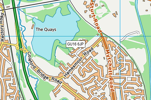
Mytchett Recreation Ground on a map

Mytchett Recreation Ground geodata
| Easting | 488629 |
| Northing | 155973 |
| Latitude | 51.295997 |
| Longitude | -0.730226 |
| Local Authority Name | Surrey Heath |
| Local Authority Code | E07000214 |
| Parliamentary Constituency Name | Surrey Heath |
| Parliamentary Constituency Code | E14000983 |
| Region Name | South East |
| Region Code | E15000008 |
| Ward Name | Mytchett & Deepcut |
| Ward Code | E05012032 |
| Output Area Code | E00156972 |
About this data
This data is open data sourced from Active Places Power and licenced under the Active Places Open Data Licence.
| toid | osgb1000000146049237 |
| Created On | 10th Feb 2014 |
| Audited On | 17th May 2023 |
| Checked On | 13th Jun 2023 |
