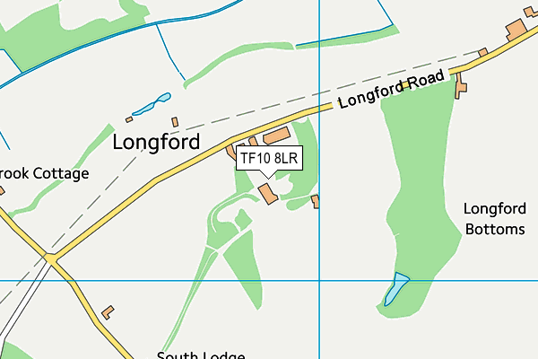
Longford Hall Playing Fields
Longford Hall Playing Fields is located in Longford, Newport (TF10), and offers Grass Pitches.
| Address | LONGFORD HALL, Longford, Newport, TF10 8LR |
| Management Type | School/College/University (in house) |
| Management Group | Education |
| Owner Type | Academies |
| Owner Group | Education |
| Education Phase | Secondary |
Aliases
Longford Hall Playing Fields is also known as:
- Haberdashers Adams Grammar School Pitches
Facilities
| Accessibility | Private Use |
| Management Type | School/College/University (in house) |
| Changing Rooms | Yes |
| Year Changing Rooms Refurbished | 2020 |
| Date Record Checked | 28th Sep 2023 |
| Opening Times | Dawn To Dusk |
Facility specifics
| Accessibility | Private Use |
| Management Type | School/College/University (in house) |
| Changing Rooms | Yes |
| Year Changing Rooms Refurbished | 2020 |
| Date Record Checked | 28th Sep 2023 |
| Opening Times | Dawn To Dusk |
Facility specifics
| Accessibility | Private Use |
| Management Type | School/College/University (in house) |
| Changing Rooms | Yes |
| Year Changing Rooms Refurbished | 2020 |
| Date Record Checked | 28th Sep 2023 |
| Opening Times | Dawn To Dusk |
Facility specifics
Contact
Where is Longford Hall Playing Fields?
| Sub Building Name | |
| Building Name | LONGFORD HALL |
| Building Number | 0 |
| Dependent Thoroughfare | |
| Thoroughfare Name | |
| Double Dependent Locality | |
| Dependent Locality | LONGFORD |
| PostTown | NEWPORT |
| Postcode | TF10 8LR |
Longford Hall Playing Fields on a map

Longford Hall Playing Fields geodata
| Easting | 372993.73 |
| Northing | 318216.74 |
| Latitude | 52.760874 |
| Longitude | -2.401637 |
| Local Authority Name | Telford and Wrekin |
| Local Authority Code | E06000020 |
| Parliamentary Constituency Name | The Wrekin |
| Parliamentary Constituency Code | E14000992 |
| Region Name | West Midlands |
| Region Code | E15000005 |
| Ward Name | Church Aston & Lilleshall |
| Ward Code | E05009970 |
| Output Area Code | E00071263 |
About this data
This data is open data sourced from Active Places Power and licenced under the Active Places Open Data Licence.
| Created On | 6th Dec 2009 |
| Audited On | 28th Sep 2023 |
| Checked On | 28th Sep 2023 |
