Leyton Jubilee Park
Leyton Jubilee Park is located in Leyton (E10), and offers Grass Pitches.
| Address | LEYTON JUBILEE PARK, Marsh Lane, Leyton, E10 7BL |
| Management Type | School/College/University (in house) |
| Management Group | Education |
| Owner Type | Local Authority |
| Owner Group | Local Authority |
| Education Phase | Secondary |
Facilities
| Closure Date | 1st May 2005 |
| Closure Reason | Unclassified |
| Accessibility | Pay and Play |
| Management Type | Not Known |
| Changing Rooms | Yes |
| Date Record Checked | 4th Sep 2023 |
| Opening Times | Detailed Timings |
Facility specifics
| Accessibility | Pay and Play |
| Management Type | School/College/University (in house) |
| Year Built | 1930 |
| Changing Rooms | Yes |
| Date Record Checked | 4th Sep 2023 |
| Opening Times | Dawn To Dusk |
Facility specifics
Disabled access
| Disabled Access | Yes |
| Activity Areas | Yes |
| Accessibility | Pay and Play |
| Management Type | School/College/University (in house) |
| Year Built | 1930 |
| Changing Rooms | Yes |
| Date Record Checked | 4th Sep 2023 |
| Opening Times | Dawn To Dusk |
Facility specifics
Disabled access
| Disabled Access | Yes |
| Activity Areas | Yes |
| Accessibility | Pay and Play |
| Management Type | School/College/University (in house) |
| Year Built | 1930 |
| Changing Rooms | Yes |
| Date Record Checked | 4th Sep 2023 |
| Opening Times | Dawn To Dusk |
Facility specifics
Disabled access
| Disabled Access | Yes |
| Activity Areas | Yes |
Contact
Disabled access
Disabled access for Leyton Jubilee Park
| Disabled Access | Yes |
| Activity Areas | Yes |
Where is Leyton Jubilee Park?
| Sub Building Name | |
| Building Name | LEYTON JUBILEE PARK |
| Building Number | 0 |
| Dependent Thoroughfare | |
| Thoroughfare Name | MARSH LANE |
| Double Dependent Locality | |
| Dependent Locality | |
| PostTown | LEYTON |
| Postcode | E10 7BL |
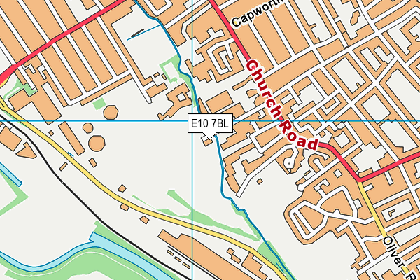
Leyton Jubilee Park on a map

Leyton Jubilee Park geodata
| Easting | 536985 |
| Northing | 186861 |
| Latitude | 51.563996 |
| Longitude | -0.02511 |
| Local Authority Name | Waltham Forest |
| Local Authority Code | E09000031 |
| Parliamentary Constituency Name | Leyton and Wanstead |
| Parliamentary Constituency Code | E14000790 |
| Region Name | London |
| Region Code | E15000007 |
| Ward Name | Leyton |
| Ward Code | E05013896 |
| Output Area Code | E00022302 |
About this data
This data is open data sourced from Active Places Power and licenced under the Active Places Open Data Licence.
| toid | osgb1000001802835914 |
| Created On | 13th Aug 2004 |
| Audited On | 4th Sep 2023 |
| Checked On | 4th Sep 2023 |
