Kent And Surrey Golf And Country Club - Edenbridge
Kent And Surrey Golf And Country Club is located in Edenbridge (TN8), and offers Golf.
| Address | Crouch House Road, Edenbridge, TN8 5LQ |
| Car Park | Yes |
| Car Park Capacity | 200 |
| Management Type | Commercial Management |
| Management Group | Commercial |
| Owner Type | Commercial |
| Owner Group | Commercial |
| Education Phase | Not applicable |
Facilities
| Closure Date | 1st May 2019 |
| Closure Reason | Strategic Review - facility/site not being replaced |
| Accessibility | Pay and Play |
| Management Type | Commercial Management |
| Year Built | 1985 |
| Changing Rooms | Yes |
| Year Changing Rooms Refurbished | 2016 |
| Date Record Checked | 8th Sep 2022 |
| Opening Times | Dawn To Dusk |
Facility specifics
| Closure Date | 1st Mar 2009 |
| Closure Reason | Unclassified |
| Accessibility | Pay and Play |
| Management Type | Not Known |
| Year Built | 1990 |
| Changing Rooms | Yes |
| Date Record Checked | 8th Sep 2022 |
| Opening Times | Detailed Timings |
Facility specifics
| Accessibility | Pay and Play |
| Management Type | Commercial Management |
| Year Built | 1974 |
| Changing Rooms | Yes |
| Year Changing Rooms Refurbished | 2016 |
| Date Record Checked | 8th Sep 2022 |
| Opening Times | Dawn To Dusk |
Facility specifics
| Closure Date | 1st Mar 2009 |
| Closure Reason | Unclassified |
| Accessibility | Pay and Play |
| Management Type | Not Known |
| Year Built | 1990 |
| Changing Rooms | No |
| Date Record Checked | 8th Sep 2022 |
| Opening Times | Detailed Timings |
Facility specifics
Contact
Where is Kent And Surrey Golf And Country Club?
| Sub Building Name | |
| Building Name | |
| Building Number | 0 |
| Dependent Thoroughfare | |
| Thoroughfare Name | CROUCH HOUSE ROAD |
| Double Dependent Locality | |
| Dependent Locality | |
| PostTown | EDENBRIDGE |
| Postcode | TN8 5LQ |
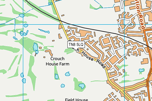
Kent And Surrey Golf And Country Club on a map

Kent And Surrey Golf And Country Club geodata
| Easting | 543361 |
| Northing | 146871 |
| Latitude | 51.203069 |
| Longitude | 0.050687 |
| Local Authority Name | Sevenoaks |
| Local Authority Code | E07000111 |
| Parliamentary Constituency Name | Tonbridge and Malling |
| Parliamentary Constituency Code | E14000997 |
| Region Name | South East |
| Region Code | E15000008 |
| Ward Name | Edenbridge South and West |
| Ward Code | E05005014 |
| Output Area Code | E00124004 |
About this data
This data is open data sourced from Active Places Power and licenced under the Active Places Open Data Licence.
| toid | osgb1000007062900 |
| Created On | 26th Apr 2004 |
| Audited On | 8th Sep 2022 |
| Checked On | 8th Sep 2022 |
