HENAJA LIMITED
HENAJA LIMITED is an active private limited company, incorporated on 9 September 2014. The nature of the business is Repair and maintenance of other transport equipment n.e.c.. The company's registered office is on Vale Road, Stalybridge. The company's accounts were last made up to 30 September 2022, are next due on 30 June 2024, and fall under the accounts category: Micro Entity. HENAJA LIMITED has no previous names. The company has no mortgage charges, outstanding or otherwise.
Company Information
| Company Number | 09210015 |
|---|
| Company Category | Private Limited Company |
|---|
| Company Status | Active |
|---|
| Incorporation Date | 09/09/2014 |
|---|
| Country of Origin | United Kingdom |
|---|
Registered Office
| Address Line 1 | 2 VALE ROAD |
|---|
| Address Line 2 | CARRBROOK |
|---|
| Post Town | STALYBRIDGE |
|---|
| County | CHESHIRE |
|---|
| Postcode | SK15 3LA |
|---|
Accounts
| Accounting Reference Date | 30th September |
|---|
| Accounts Next Due Date | 30/06/2024 |
|---|
| Accounts Last Made Up Date | 30/09/2022 |
|---|
| Accounts Category | MICRO ENTITY |
|---|
Confirmation Statement
| Next Due Date | 23/09/2024 |
|---|
| Last Made Up Date | 09/09/2023 |
|---|
Return
| Next Due Date | 07/10/2016 |
|---|
| Last Made Up Date | 09/09/2015 |
|---|
Mortgages
| Number of Mortgage Charges | 0 |
|---|
| Number of Outstanding Charges | 0 |
|---|
| Number of Satisfied Charges | 0 |
|---|
| Number of Partially Satisfied Charges | 0 |
|---|
Nature of Business (SIC Codes)
33170 - Repair and maintenance of other transport equipment n.e.c.
Company Name History
From incorporation onwards:
HENAJA LIMITED
Directors
(The company's officers)
MR ALAN MILLWARD
(~60 year old British national)
2 VALE ROAD, CARRBROOK, STALYBRIDGE, CHESHIRE, SK15 3LA, ENGLAND
- Current Director
- Gives occupation as ROLLING STOCK RENOVATION
- Usually resident in ENGLAND
Appointed on 09/09/2014
Licence: Supplied under section 47 and 50 of the Copyright, Designs and Patents Act 1988 and Schedule 1 of the Database Regulations (SI 1997/3032)
HENAJA LIMITED: Maps
Maps show the location of the postcode of the registered office, SK15 3LA.
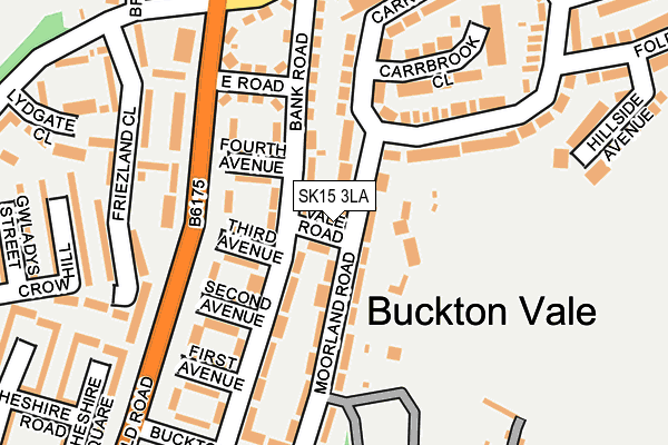
Map of HENAJA LIMITED at local scale
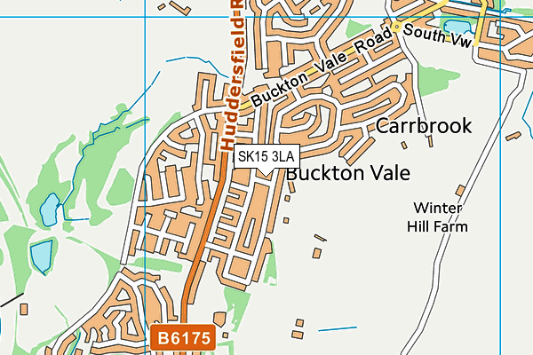
Map of HENAJA LIMITED at district scale