AJS FREIGHT LIMITED
AJS FREIGHT LIMITED is an active private limited company, incorporated on 26 May 2016. The nature of the business is Freight transport by road. The company's registered office is on Tenford Lane, Stoke-on-trent. The company's accounts were last made up to 31 May 2023, are next due on 28 February 2025, and fall under the accounts category: Micro Entity. AJS FREIGHT LIMITED has no previous names. The company has three mortgage charges, two of which are outstanding.
Company Information
| Company Number | 10202113 |
|---|
| Company Category | Private Limited Company |
|---|
| Company Status | Active |
|---|
| Incorporation Date | 26/05/2016 |
|---|
| Country of Origin | United Kingdom |
|---|
Registered Office
| Address Line 1 | EAST MOUNT TENFORD LANE |
|---|
| Address Line 2 | TEAN |
|---|
| Post Town | STOKE-ON-TRENT |
|---|
| Country | ENGLAND |
|---|
| Postcode | ST10 4EN |
|---|
Accounts
| Accounting Reference Date | 31st May |
|---|
| Accounts Next Due Date | 28/02/2025 |
|---|
| Accounts Last Made Up Date | 31/05/2023 |
|---|
| Accounts Category | MICRO ENTITY |
|---|
Confirmation Statement
| Next Due Date | 17/05/2024 |
|---|
| Last Made Up Date | 03/05/2023 |
|---|
Return
| Next Due Date | 23/06/2017 |
|---|
| Last Made Up Date | Not available |
|---|
Mortgages
| Number of Mortgage Charges | 3 |
|---|
| Number of Outstanding Charges | 2 |
|---|
| Number of Satisfied Charges | 1 |
|---|
| Number of Partially Satisfied Charges | 0 |
|---|
Nature of Business (SIC Codes)
49410 - Freight transport by road
Company Name History
From incorporation onwards:
AJS FREIGHT LIMITED
Directors
(The company's officers)
MRS ANGELA JAYNE SELLERS
(~56 year old British national)
EAST MOUNT TENFORD LANE, TEAN, STOKE-ON-TRENT, ST10 4EN, ENGLAND
- Current Director
- Gives occupation as CARER
- Usually resident in UNITED KINGDOM
Appointed on 26/05/2016
Licence: Supplied under section 47 and 50 of the Copyright, Designs and Patents Act 1988 and Schedule 1 of the Database Regulations (SI 1997/3032)
AJS FREIGHT LIMITED: Maps
Maps show the location of the postcode of the registered office, ST10 4EN.
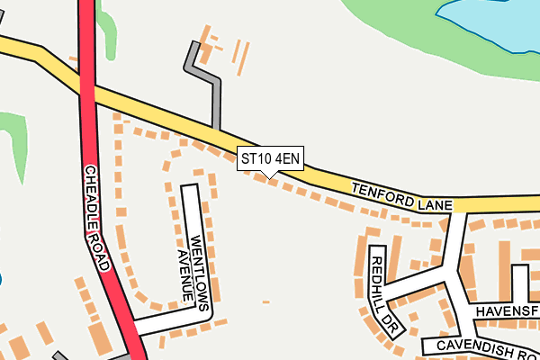
Map of AJS FREIGHT LIMITED at local scale
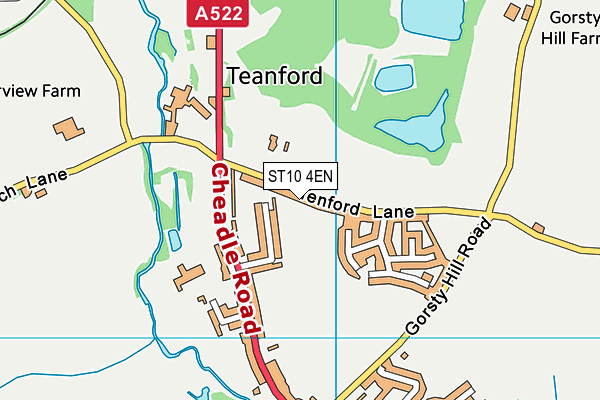
Map of AJS FREIGHT LIMITED at district scale